


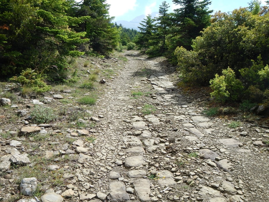
Der Anstieg geht über einen alten Fahrweg, stellenweise etwas steil.
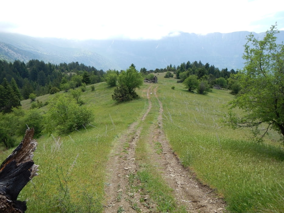
Oben sind einige Wiesen, schön für eine Pause.
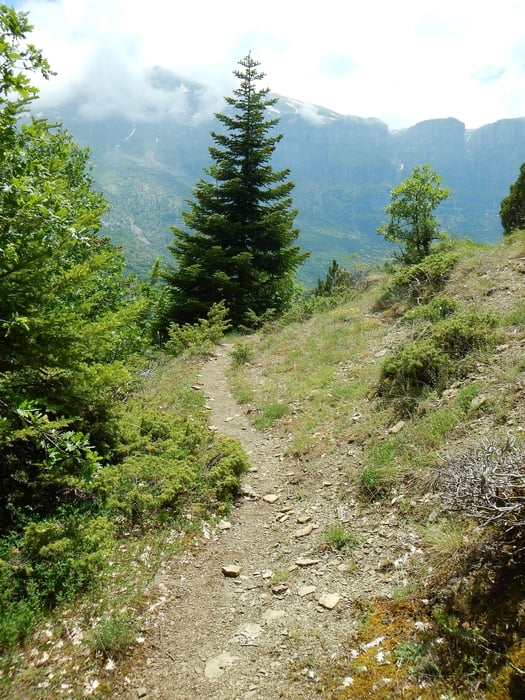
Der Abstieg nach Papigo geht über Wege, teilweise „Ziegenpfade“, sind aber gut zu erkennen.
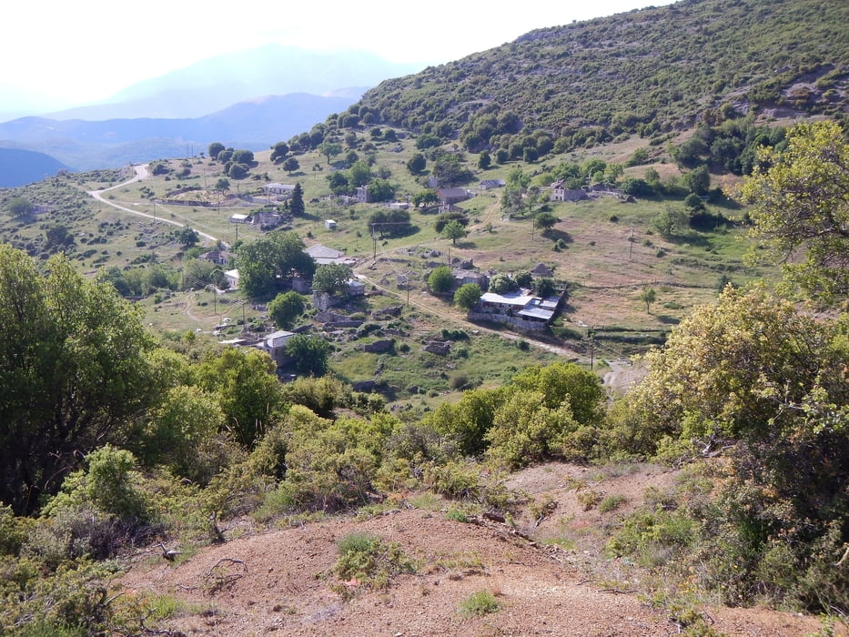
Von Papigo geht es auf annähernd gleicher Höhe zurück nach Klidonia.
Die Vikos Schlucht und das Timfi sind fast ständig zu sehen.
Further information at
http://de.wikiloc.com/wikiloc/view.do?id=10078383Galerija izletov
Zemljevid in višinski profil izleta
Minimum height 879 m
Maximum height 1460 m
More about the tour author

|
Mapdekode |
Komentarji

Man kann von der Bundesstraße 20 bis nach Klidonia mit dem Wagen fahren, ist asphaltiert.
Einige enge Kurven, Schlaglöcher (nicht zu schnell fahren), aber kein Problem.
Einige enge Kurven, Schlaglöcher (nicht zu schnell fahren), aber kein Problem.
Poti GPS
Trackpoints-
GPX / Garmin Map Source (gpx) download
-
TCX / Garmin Training Center® (tcx) download
-
CRS / Garmin Training Center® (crs) download
-
Google Earth (kml) download
-
G7ToWin (g7t) download
-
TTQV (trk) download
-
Overlay (ovl) download
-
Fugawi (txt) download
-
Kompass (DAV) Track (tk) download
-
List z izleti (pdf) download
-
Original file of the author (gpx) download
More about the tour author
|
|
Mapdekode |
Add to my favorites
Remove from my favorites
Edit tags
Open track
My score
Rate