Login

Si pozabil/a podatke za prijavo?

Cookies have to be accepted!
Your browser's cookie functionality is disabled. Please enable this functionality.

Not a member yet?

Register now
Login

Available for registred users only

Log in to use this feature.

Si pozabil/a podatke za prijavo?

Cookies have to be accepted!
Your browser's cookie functionality is disabled. Please enable this functionality.

Not a member yet?

Register now
Filter
Kategorije
Advanced filters
  • Dolžina (km)
  • Metri nadmorske višine
Shrani filter Reset filter

TrackRank

QRCode

Technical data

Dolžina65,1 km Metri nadmorske višine481 m Way down463 m Trajanje02:27 h:m Datum09.05.2016
Ocene Author Pokrajina Dejavnik zabave Kondicija Tehnika

Statistika

276 Pogledi Ocene 35 Prenosi Povprečje
Rate
  • List z izleti
  • Prihod
  • Prenosi

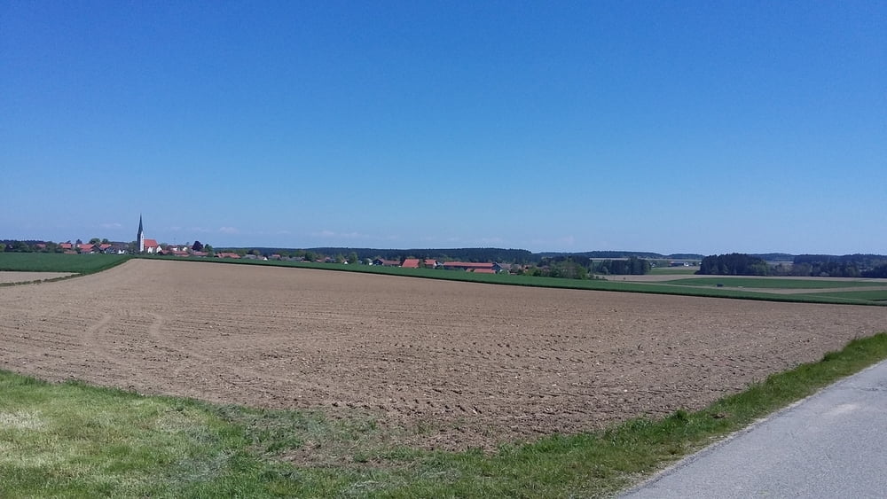
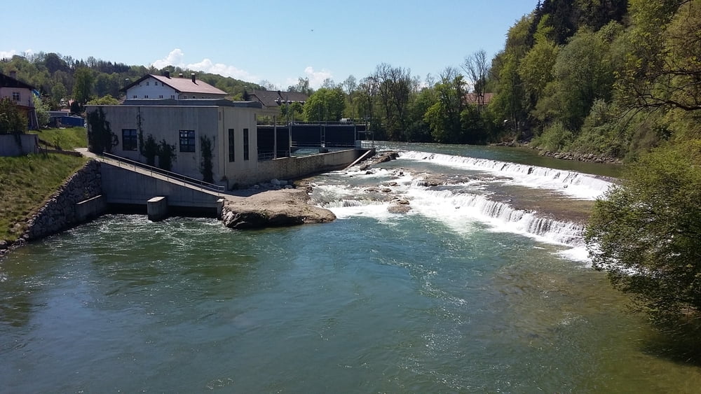
Eine schöne Runde durch den nördlichen Chiemgau.

Durch meist kleine Nebenstraßen mit wenig Verkehr.

Durch den Ostwind wurde die Tour ab Obing schwieriger.


Galerija izletov

Zemljevid in višinski profil izleta

  • Open Street Map
  • Google
Minimum height 461 m Maximum height 590 m Prikaz podrobnosti

More about the tour author

Kletterwolf
Member since 2009

Send private message

Komentarji

Poti GPS

Trackpoints
  • GPX / Garmin Map Source (gpx) download
  • TCX / Garmin Training Center® (tcx) download
  • CRS / Garmin Training Center® (crs) download
  • Google Earth (kml) download
  • G7ToWin (g7t) download
  • TTQV (trk) download
  • Overlay (ovl) download
  • Fugawi (txt) download
  • Kompass (DAV) Track (tk) download
  • List z izleti (pdf) download
  • Original file of the author (gpx) download

More about the tour author

Kletterwolf
Member since 2009

Send private message
Share track
Add to my favorites
Remove from my favorites
Edit tags
My score
Rate
Izlet: Nördliche Chiemgaurunde
Vrsta: Dirkalno kolo
Dolžina: 65,1 km
Evaluated on:
Trajanje:
Day(s)
Hour(s)
Minute(s)
Ocena: Pokrajina Dejavnik zabave Kondicija Tehnika