


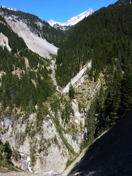
In Elbigenalp steil hinauf zur Giblalp und weiter hinein ins Bernhardstal. An einigen Stellen besteht Steinschlaggefahr. Dem Wegweiser Kasermandl folgend geht es hinab zum Bach und über eine kleine Brücke hinüber. Die nächsten 200 Meter führen über ein Geröllfeld, es ist die einzige Schiebe- Tragepassage. Auf dem Wanderweg steigen wir wieder bergan, die Serpentinen sind zum Teil recht eng. Der hier beginnende Forstweg führt an einer grpßen Wildfütterung vorbei und zum Wirtschaftsweg Richtung Kasermandl. Bei der Einmundung in den Weg nach links und 100 Meter weiter bergauf zum herrlich gelegenen Gasthof Kasermandl. Die Abfahrt nach Elbigenalp erfolgt auf der Schotterstraße bis zur Schnitzschule.
Galerija izletov


Zemljevid in višinski profil izleta
Minimum height 931 m
Maximum height 1401 m
More about the tour author

|
eganahl |
Komentarji

Anfahrt mit dem Radl von Stanzach oder von Reutte, mit dem Auto oder Postbus ebenfalls von Richtung Reutte.
Poti GPS
Trackpoints-
GPX / Garmin Map Source (gpx) download
-
TCX / Garmin Training Center® (tcx) download
-
CRS / Garmin Training Center® (crs) download
-
Google Earth (kml) download
-
G7ToWin (g7t) download
-
TTQV (trk) download
-
Overlay (ovl) download
-
Fugawi (txt) download
-
Kompass (DAV) Track (tk) download
-
List z izleti (pdf) download
-
Original file of the author (gpx) download
More about the tour author
|
|
eganahl |
Add to my favorites
Remove from my favorites
Edit tags
Open track
My score
Rate