Login

Si pozabil/a podatke za prijavo?

Cookies have to be accepted!
Your browser's cookie functionality is disabled. Please enable this functionality.

Not a member yet?

Register now
Login

Available for registred users only

Log in to use this feature.

Si pozabil/a podatke za prijavo?

Cookies have to be accepted!
Your browser's cookie functionality is disabled. Please enable this functionality.

Not a member yet?

Register now
Filter
Kategorije
Advanced filters
  • Dolžina (km)
  • Metri nadmorske višine
Shrani filter Reset filter

TrackRank

QRCode

Technical data

Dolžina82,1 km Metri nadmorske višine366 m Way down389 m Trajanje06:30 h:m Datum27.05.2016
Ocene Author Pokrajina Dejavnik zabave Kondicija Tehnika

Statistika

164 Pogledi Ocene 22 Prenosi Povprečje
Rate
  • List z izleti
  • Prihod
  • Prenosi
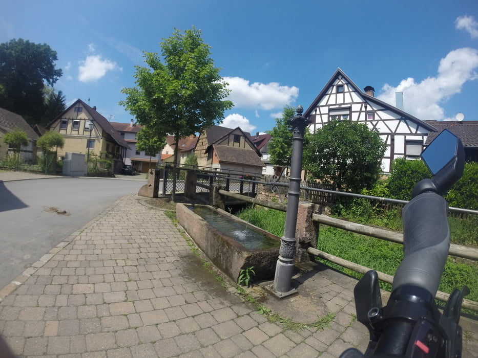
lockere Tour über Besigheim, Lauffen am Neckar, Heilbronn, Übernachtung in Gundelheim, durch den Odenwald nach Eberbach, vorbei an Campingplätzen, schönen Schlösser und modernen Brücken

Galerija izletov

Zemljevid in višinski profil izleta

  • Open Street Map
  • Google
Minimum height 132 m Maximum height 230 m Prikaz podrobnosti

More about the tour author

Biker82
Member since 2010

Send private message

Komentarji

- Bahnhof Besigheim

- Bahnhof Eberbach


Poti GPS

Trackpoints
  • GPX / Garmin Map Source (gpx) download
  • TCX / Garmin Training Center® (tcx) download
  • CRS / Garmin Training Center® (crs) download
  • Google Earth (kml) download
  • G7ToWin (g7t) download
  • TTQV (trk) download
  • Overlay (ovl) download
  • Fugawi (txt) download
  • Kompass (DAV) Track (tk) download
  • List z izleti (pdf) download
  • Original file of the author (gpx) download

More about the tour author

Biker82
Member since 2010

Send private message
Share track
Add to my favorites
Remove from my favorites
Edit tags
My score
Rate
Izlet: Unterer Neckartalradweg
Vrsta: Izleti s kolesom
Dolžina: 82,1 km
Evaluated on:
Trajanje:
Day(s)
Hour(s)
Minute(s)
Ocena: Pokrajina Dejavnik zabave Kondicija Tehnika