

Startpunkt ist am Parkplatz vor Ingling wo das Wehr ist. Hier kann man sein Auto auch auf den Seitenstreifen stellen.
Danach geht es gleich recht hoch, die ersten HM stehen bevor.
Wenn man ohne Navi fährt ist der Rundweg leider oft sehr schlecht beschildert.
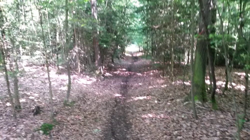
Diese Tour ist nur mit MTB zu fahren. Auf der Strecke ist alles geboten, tiefer Schlamm, enge Trails auf Forstboden, Forststrassen, knackige Anstiege und enge Downhill trails...
Der erste Teil ist etwas anstrengend aber auch toll zu fahren. Hat man dann den Inn erreicht kann man es locker auslaufen lassen.
Viel Spass beim Nachfahren.
Galerija izletov


Zemljevid in višinski profil izleta
Minimum height 231 m
Maximum height 441 m
More about the tour author
|
|
franz1962 |
Komentarji

Poti GPS
Trackpoints-
GPX / Garmin Map Source (gpx) download
-
TCX / Garmin Training Center® (tcx) download
-
CRS / Garmin Training Center® (crs) download
-
Google Earth (kml) download
-
G7ToWin (g7t) download
-
TTQV (trk) download
-
Overlay (ovl) download
-
Fugawi (txt) download
-
Kompass (DAV) Track (tk) download
-
List z izleti (pdf) download
-
Original file of the author (gpx) download
More about the tour author
|
|
franz1962 |
Add to my favorites
Remove from my favorites
Edit tags
Open track
My score
Rate