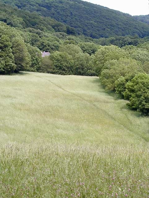
I´ve been for two weeks in the wienerwald for bike rides, and decided to make this track for who wants to get used to the area.
Galerija izletov
Zemljevid in višinski profil izleta
Minimum height 200 m
Maximum height 521 m
Komentarji

the trail starts at the begining of the newaldeg park, and ends in the same place. because of the dense tree´s area for a few meters i was without signal.
Poti GPS
Trackpoints-
GPX / Garmin Map Source (gpx) download
-
TCX / Garmin Training Center® (tcx) download
-
CRS / Garmin Training Center® (crs) download
-
Google Earth (kml) download
-
G7ToWin (g7t) download
-
TTQV (trk) download
-
Overlay (ovl) download
-
Fugawi (txt) download
-
Kompass (DAV) Track (tk) download
-
List z izleti (pdf) download
-
Original file of the author (g7t) download
Add to my favorites
Remove from my favorites
Edit tags
Open track
My score
Rate


