Login

Si pozabil/a podatke za prijavo?

Cookies have to be accepted!
Your browser's cookie functionality is disabled. Please enable this functionality.

Not a member yet?

Register now
Login

Available for registred users only

Log in to use this feature.

Si pozabil/a podatke za prijavo?

Cookies have to be accepted!
Your browser's cookie functionality is disabled. Please enable this functionality.

Not a member yet?

Register now
Filter
Kategorije
Advanced filters
  • Dolžina (km)
  • Metri nadmorske višine
Shrani filter Reset filter

TrackRank

QRCode

Technical data

Dolžina51,5 km Metri nadmorske višine1224 m Way down1234 m Trajanje04:30 h:m Datum12.06.2016
Ocene Author Pokrajina Dejavnik zabave Kondicija Tehnika

Statistika

676 Pogledi Ocene 143 Prenosi Povprečje
Rate
  • List z izleti
  • Prihod
  • Prenosi

Der Start und das Ziel sind in Goldkronach.

Wir haben versucht möglichst viele Trails einzubauen die (meistens) downhill verlaufen sollten, uphill gibt es auch zwei die man ja bei einer anderen Tour mal runter fahren kann :)

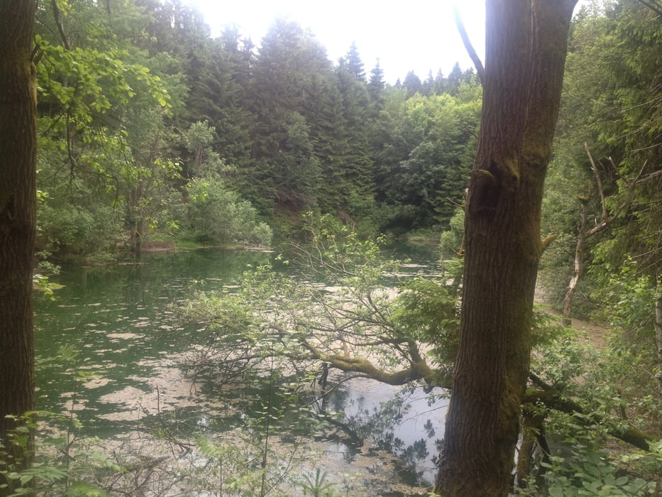
Insgesamt eine landschaftlich und auch technisch sehr schöne Tour durch das schöne Fichtelgebirge.


Galerija izletov

Zemljevid in višinski profil izleta

  • Open Street Map
  • Google
Minimum height 392 m Maximum height 925 m Prikaz podrobnosti

More about the tour author

berndhuber
Member since 2008

Send private message

Komentarji

A9>Bayreuth nord>Goldkronach


Poti GPS

Trackpoints
  • GPX / Garmin Map Source (gpx) download
  • TCX / Garmin Training Center® (tcx) download
  • CRS / Garmin Training Center® (crs) download
  • Google Earth (kml) download
  • G7ToWin (g7t) download
  • TTQV (trk) download
  • Overlay (ovl) download
  • Fugawi (txt) download
  • Kompass (DAV) Track (tk) download
  • List z izleti (pdf) download
  • Original file of the author (gpx) download

More about the tour author

berndhuber
Member since 2008

Send private message
Share track
Add to my favorites
Remove from my favorites
Edit tags
My score
Rate
Izlet: schöne Trailrunde durchs Fichtelgebirge
Vrsta: Gorsko kolo
Dolžina: 51,5 km
Evaluated on:
Trajanje:
Day(s)
Hour(s)
Minute(s)
Ocena: Pokrajina Dejavnik zabave Kondicija Tehnika