


Vom B&B "The Lantern Townhouse" in Dingle zum B&B "An Portán" in Dunquin
Wegbeschreibung in: Bardwell, Sarah "The Dingle Way", Rucksack Readers, Dunblane 2009, ISBN 978-1-898481-33-1.
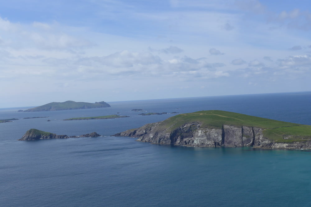
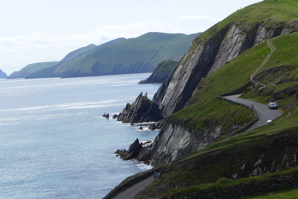
Strandwanderung und dann sehr schoene Hoehenwanderung auf Dunquin zu
Ich hatte zunaechst vergessen, die Trackaufzeichnung einzuschalten. Den Trackfile habe ich zusammengestellt aus eigener Aufzeichnung ab Ventry, einer Fremdquelle und meiner Trackzeichnung auf Basecamp.
Further information at
http://www.dingleway.comGalerija izletov

Zemljevid in višinski profil izleta
Minimum height -21 m
Maximum height 197 m
More about the tour author

|
lohanhe |
Komentarji

Poti GPS
Trackpoints-
GPX / Garmin Map Source (gpx) download
-
TCX / Garmin Training Center® (tcx) download
-
CRS / Garmin Training Center® (crs) download
-
Google Earth (kml) download
-
G7ToWin (g7t) download
-
TTQV (trk) download
-
Overlay (ovl) download
-
Fugawi (txt) download
-
Kompass (DAV) Track (tk) download
-
List z izleti (pdf) download
-
Original file of the author (gpx) download
More about the tour author
|
|
lohanhe |
Add to my favorites
Remove from my favorites
Edit tags
Open track
My score
Rate