Login

Si pozabil/a podatke za prijavo?

Cookies have to be accepted!
Your browser's cookie functionality is disabled. Please enable this functionality.

Not a member yet?

Register now
Login

Available for registred users only

Log in to use this feature.

Si pozabil/a podatke za prijavo?

Cookies have to be accepted!
Your browser's cookie functionality is disabled. Please enable this functionality.

Not a member yet?

Register now
Filter
Kategorije
Advanced filters
  • Dolžina (km)
  • Metri nadmorske višine
Shrani filter Reset filter

TrackRank

QRCode

Technical data

Dolžina38,2 km Metri nadmorske višine1477 m Way down1473 m Trajanje00:00 h:m Datum10.07.2016
Ocene Author Pokrajina Dejavnik zabave Kondicija Tehnika

Statistika

443 Pogledi Ocene 84 Prenosi Povprečje
Rate
  • List z izleti
  • Prihod
  • Prenosi

Von Nauders über die Norbertshöhe nach Martina und von dort zur Alpe Tee.

Da die Tour fast nur auf Asphalt und Forstwegen verläuft, eignet sie sich auch, wenn das Wetter nicht so optimal ist. 
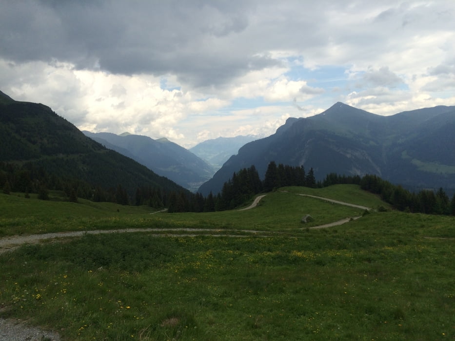
Galerija izletov

Zemljevid in višinski profil izleta

  • Open Street Map
  • Google
Minimum height 1047 m Maximum height 2038 m Prikaz podrobnosti

More about the tour author

klixx
Member since 2009

Send private message

Komentarji

direkt ab Nauders

Poti GPS

Trackpoints
  • GPX / Garmin Map Source (gpx) download
  • TCX / Garmin Training Center® (tcx) download
  • CRS / Garmin Training Center® (crs) download
  • Google Earth (kml) download
  • G7ToWin (g7t) download
  • TTQV (trk) download
  • Overlay (ovl) download
  • Fugawi (txt) download
  • Kompass (DAV) Track (tk) download
  • List z izleti (pdf) download
  • Original file of the author (gpx) download

More about the tour author

klixx
Member since 2009

Send private message
Share track
Add to my favorites
Remove from my favorites
Edit tags
My score
Rate
Izlet: Nauders - Alpe Tee - Nauders
Vrsta: Gorsko kolo
Dolžina: 38,2 km
Evaluated on:
Trajanje:
Day(s)
Hour(s)
Minute(s)
Ocena: Pokrajina Dejavnik zabave Kondicija Tehnika