Login

Si pozabil/a podatke za prijavo?

Cookies have to be accepted!
Your browser's cookie functionality is disabled. Please enable this functionality.

Not a member yet?

Register now
Login

Available for registred users only

Log in to use this feature.

Si pozabil/a podatke za prijavo?

Cookies have to be accepted!
Your browser's cookie functionality is disabled. Please enable this functionality.

Not a member yet?

Register now
Filter
Kategorije
Advanced filters
  • Dolžina (km)
  • Metri nadmorske višine
Shrani filter Reset filter

TrackRank

QRCode

Technical data

Dolžina31,6 km Metri nadmorske višine1250 m Way down1208 m Trajanje04:10 h:m Datum19.08.2016
Ocene Author Pokrajina Dejavnik zabave Kondicija Tehnika

Statistika

294 Pogledi Ocene 59 Prenosi Povprečje
Rate
  • List z izleti
  • Prihod
  • Prenosi
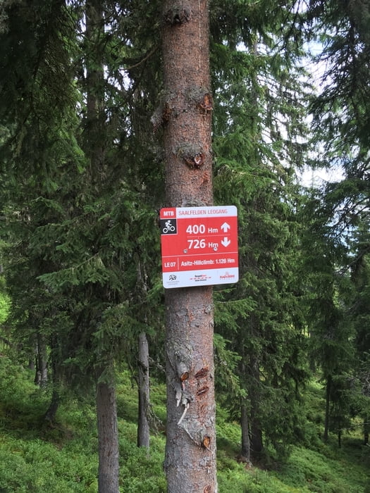
Tour auf den Großen Asitz. Auf gut befahrbaren Forststraßen. Bis zum kleinen Asitz anstrengend, vom kleinen zum großen Asitz tw. brutal steil, aber machbar.

Galerija izletov

Zemljevid in višinski profil izleta

  • Open Street Map
  • Google
Minimum height 757 m Maximum height 1904 m Prikaz podrobnosti

More about the tour author

lumpi82
Member since 2016

Send private message

Komentarji

Poti GPS

Trackpoints
  • GPX / Garmin Map Source (gpx) download
  • TCX / Garmin Training Center® (tcx) download
  • CRS / Garmin Training Center® (crs) download
  • Google Earth (kml) download
  • G7ToWin (g7t) download
  • TTQV (trk) download
  • Overlay (ovl) download
  • Fugawi (txt) download
  • Kompass (DAV) Track (tk) download
  • List z izleti (pdf) download
  • Original file of the author (gpx) download

More about the tour author

lumpi82
Member since 2016

Send private message
Share track
Add to my favorites
Remove from my favorites
Edit tags
My score
Rate
Izlet: Asitz Hillclimb
Vrsta: Gorsko kolo
Dolžina: 31,6 km
Evaluated on:
Trajanje:
Day(s)
Hour(s)
Minute(s)
Ocena: Pokrajina Dejavnik zabave Kondicija Tehnika