Login

Si pozabil/a podatke za prijavo?

Cookies have to be accepted!
Your browser's cookie functionality is disabled. Please enable this functionality.

Not a member yet?

Register now
Login

Available for registred users only

Log in to use this feature.

Si pozabil/a podatke za prijavo?

Cookies have to be accepted!
Your browser's cookie functionality is disabled. Please enable this functionality.

Not a member yet?

Register now
Filter
Kategorije
Advanced filters
  • Dolžina (km)
  • Metri nadmorske višine
Shrani filter Reset filter

TrackRank

QRCode

Technical data

Dolžina19,6 km Metri nadmorske višine366 m Way down390 m Trajanje01:30 h:m Datum05.05.2008
Ocene Author Pokrajina Dejavnik zabave Kondicija Tehnika

Statistika

854 Pogledi 1 Ocena 146 Prenosi 5.00 Povprečje
Rate
  • List z izleti
  • Prihod
  • Prenosi
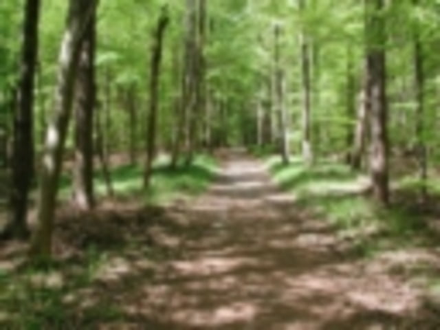
kleine Runde in den westlichen Wäldern zwischen Bieburg Oggenhof und Horgau.
Einstieg ist Oggenhof

Zemljevid in višinski profil izleta

  • Open Street Map
  • Google
Minimum height 474 m Maximum height 549 m Prikaz podrobnosti

More about the tour author

FozzyFozzborn
Member since 2008

Send private message

Komentarji

Augsburg: B300 Richtung Memmingen
in Diedorf Richtung Oggenhof

Poti GPS

Trackpoints
  • GPX / Garmin Map Source (gpx) download
  • TCX / Garmin Training Center® (tcx) download
  • CRS / Garmin Training Center® (crs) download
  • Google Earth (kml) download
  • G7ToWin (g7t) download
  • TTQV (trk) download
  • Overlay (ovl) download
  • Fugawi (txt) download
  • Kompass (DAV) Track (tk) download
  • List z izleti (pdf) download
  • Original file of the author (g7t) download

More about the tour author

FozzyFozzborn
Member since 2008

Send private message
Share track
Add to my favorites
Remove from my favorites
Edit tags
My score
Rate
Izlet: Zwischen den Wegen um Bieburg
Vrsta: Gorsko kolo
Dolžina: 19,6 km
Evaluated on:
Trajanje:
Day(s)
Hour(s)
Minute(s)
Ocena: Pokrajina Dejavnik zabave Kondicija Tehnika