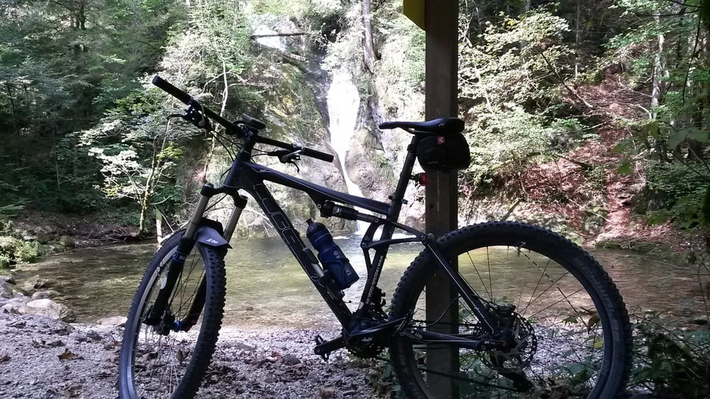
etwas schwerere MTB Tour mit knackigen Anstiegen.
Gemischt von Teer und Schotterwegen. Startpunkt ist Bad Reichenhall Fußgängerzone.
Landschaftlich eine der schönsten Touren. nicht alle Wege sind für MTB freigegeben. Allerdings hatte ich keine Probleme.
Galerija izletov
Zemljevid in višinski profil izleta
Minimum height 461 m
Maximum height 849 m
Komentarji

Poti GPS
Trackpoints-
GPX / Garmin Map Source (gpx) download
-
TCX / Garmin Training Center® (tcx) download
-
CRS / Garmin Training Center® (crs) download
-
Google Earth (kml) download
-
G7ToWin (g7t) download
-
TTQV (trk) download
-
Overlay (ovl) download
-
Fugawi (txt) download
-
Kompass (DAV) Track (tk) download
-
List z izleti (pdf) download
-
Original file of the author (gpx) download
Add to my favorites
Remove from my favorites
Edit tags
Open track
My score
Rate


