

Von Rohrbach auf Landstraße nach Sprinzenstein –
weiter nach Sarleinsbach – (Frühstück beim Bäcker am Marktplatz)
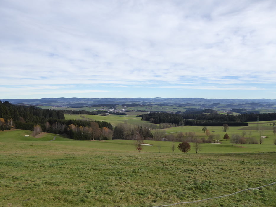
Putzleinsdorf
Auffahrt teilweise auf Wahlfahrtsweg nach Pfarrkirchen
steile Abfahrt zur Talsperre Rannatal
auf dem Fittnesweg nach Oberkappel (hier ist Radfahren und Reiten verboten!!)
bei Oberkappel Grenzübertritt nach Bayern
auf dem Donau Wald Radweg nach Wegscheid
kurz vor Wegscheid retour nach Österreich
Kollerschlag
Stratberg
Wolf
Schölling
Götzendorf
und wieder einrollen in Rohrbach
Galerija izletov


Zemljevid in višinski profil izleta
Minimum height 420 m
Maximum height 773 m
More about the tour author
|
|
Hoar |
Komentarji

Poti GPS
Trackpoints-
GPX / Garmin Map Source (gpx) download
-
TCX / Garmin Training Center® (tcx) download
-
CRS / Garmin Training Center® (crs) download
-
Google Earth (kml) download
-
G7ToWin (g7t) download
-
TTQV (trk) download
-
Overlay (ovl) download
-
Fugawi (txt) download
-
Kompass (DAV) Track (tk) download
-
List z izleti (pdf) download
-
Original file of the author (gpx) download
More about the tour author
|
|
Hoar |
Add to my favorites
Remove from my favorites
Edit tags
Open track
My score
Rate