


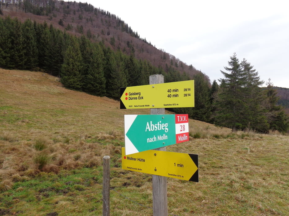
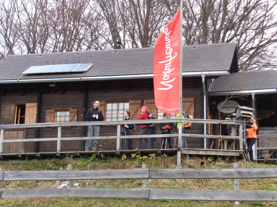
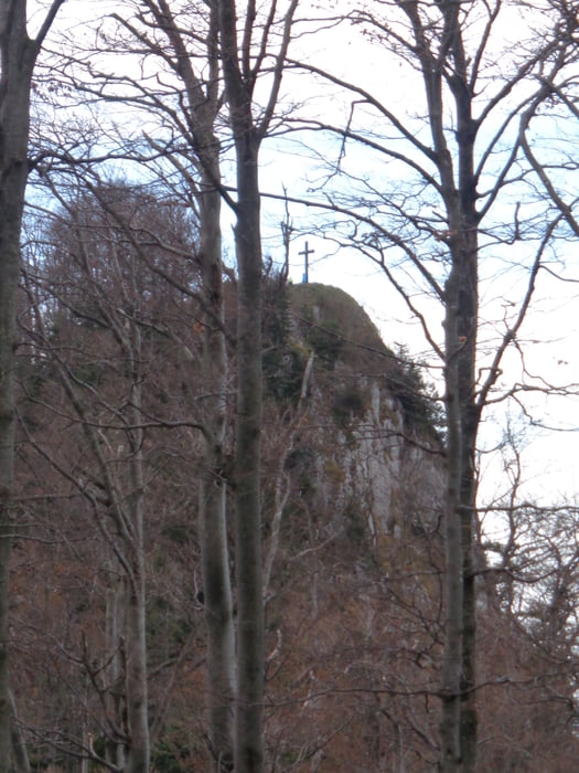
Vom Parkplatz der Mollner Hütte in Gstadt der Beschilderung folgen. Unterwegs ein schöner Panoramablick hinunter nach Molln. Bei der Kreuzung rechts hinüber zur Mollner Hütte (1 1/2 Std.). Von der Hütte hinauf auf den Rücken und nach links zum Gipfelkreuz des Dürren Eck. Gegenüber ist der Gaisberg. Von dort weiter auf dem Kamm und zuletzt etwas steiler am Rande des Schotterabbaus zum Pfaffenboden. Beim Wegpunkt Mandlmais rechts den Pranzgraben hinunter zu einer Forststraße und dieser bis zu deren Ende folgen. Hier links hinunter zum Güterweg und auf diesem zurück zum Parkplatz.
Galerija izletov
Zemljevid in višinski profil izleta
Minimum height 428 m
Maximum height 1266 m

Komentarji

Auf der Autobahn A9 bis zur Abfahrt Klaus. Durch das Steyrtal nach Molln und Gstadt.
Poti GPS
Trackpoints-
GPX / Garmin Map Source (gpx) download
-
TCX / Garmin Training Center® (tcx) download
-
CRS / Garmin Training Center® (crs) download
-
Google Earth (kml) download
-
G7ToWin (g7t) download
-
TTQV (trk) download
-
Overlay (ovl) download
-
Fugawi (txt) download
-
Kompass (DAV) Track (tk) download
-
List z izleti (pdf) download
-
Original file of the author (gpx) download
Add to my favorites
Remove from my favorites
Edit tags
Open track
My score
Rate