
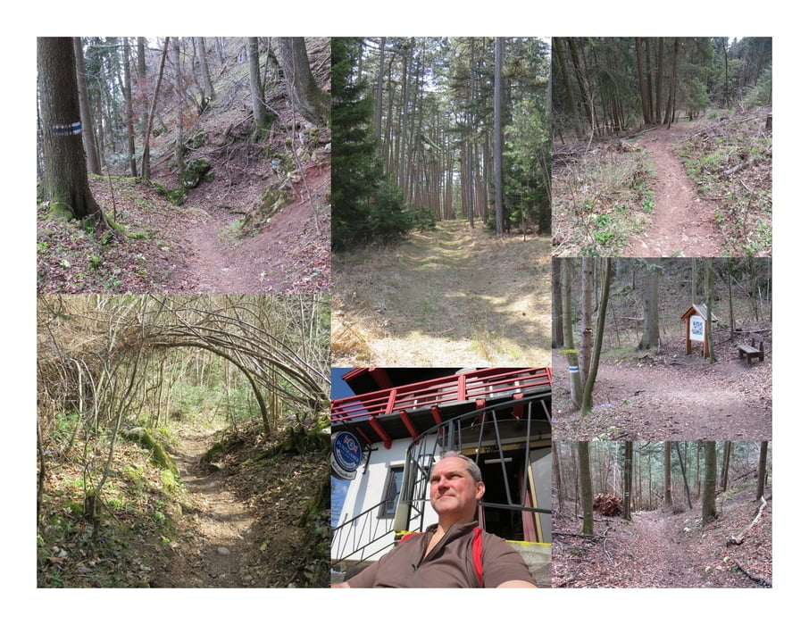

Das Brünnlries ist ein Wanderweg! Zum Teil steil, aber ohne weitere Herausforderungen geht es auf dem Waldweg ins Tal hinunter. So komme ich wieder an meinen Ausgangspunkt zurück.
Further information at
http://www.volki.at/berge/hw/hw.shtmlZemljevid in višinski profil izleta
Minimum height 543 m
Maximum height 846 m
More about the tour author
|
|
huberj59 |
Komentarji

Ich habe an den nachfolgenden Koordinaten geparkt: N47° 50' 13.2" E16° 04' 31.4".
Der Parkplatz liegt in Stollhof, an der L4074. Über die L4073 kommt man nach Gaaden. Dort wechselt man auf die L87. Abschließend benützt man die L26 um zur A2 Süd-Autobahn zu gelangen.
Poti GPS
Trackpoints-
GPX / Garmin Map Source (gpx) download
-
TCX / Garmin Training Center® (tcx) download
-
CRS / Garmin Training Center® (crs) download
-
Google Earth (kml) download
-
G7ToWin (g7t) download
-
TTQV (trk) download
-
Overlay (ovl) download
-
Fugawi (txt) download
-
Kompass (DAV) Track (tk) download
-
List z izleti (pdf) download
-
Original file of the author (gpx) download
More about the tour author
|
|
huberj59 |
Add to my favorites
Remove from my favorites
Edit tags
Open track
My score
Rate