
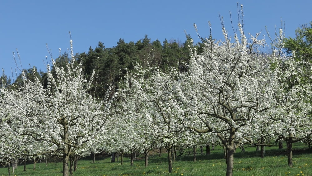

Die gemütliche Wanderung führt vom Parkplatz nach Westen durch Kirschgärten, vor "Waldheim" des CVJM rechts leicht aufwärts nach Guttenburg, 50m nach der Linkskurve der Straße rechts ab. An Abzweig folgen wir "Teufelstisch" bis zu Querweg am Waldrand. Links abwärts an markanter Buche vorbei zu Pflasterweg. Der Weg nach rechts ("Weinberg") ist privat, wir gehen nach links bis Weißenohe. An Quersträßchen rechts und nach den Gebäuden und Waldstück rechts leicht bergan, nochmals rechts und im Linksbogen auf Weg zum Parkplatz zurück.
HINWEIS zum Video:
Mit Mozilla Firefox u.a. mit Flash- Player Plugin startet das Video direkt bei der Bildershow.
Andernfalls verwendet ihr in eurem Browser den Link:
https://youtu.be/oBs-CtJOJGw
Further information at
http://www.evermusic.deGalerija izletov


Zemljevid in višinski profil izleta
Minimum height 348 m
Maximum height 507 m
More about the tour author
|
|
heinz-57 |
Komentarji

Auf der B2 von Nürnberg kommend in Igensdorf links Richtung Forchheim, kurz vor Ortsende rechts in 30er Zone zu Parkplatz am Kriegerdenkmal.
Poti GPS
Trackpoints-
GPX / Garmin Map Source (gpx) download
-
TCX / Garmin Training Center® (tcx) download
-
CRS / Garmin Training Center® (crs) download
-
Google Earth (kml) download
-
G7ToWin (g7t) download
-
TTQV (trk) download
-
Overlay (ovl) download
-
Fugawi (txt) download
-
Kompass (DAV) Track (tk) download
-
List z izleti (pdf) download
-
Original file of the author (gpx) download
More about the tour author
|
|
heinz-57 |
Add to my favorites
Remove from my favorites
Edit tags
Open track
My score
Rate