Login

Si pozabil/a podatke za prijavo?

Cookies have to be accepted!
Your browser's cookie functionality is disabled. Please enable this functionality.

Not a member yet?

Register now
Login

Available for registred users only

Log in to use this feature.

Si pozabil/a podatke za prijavo?

Cookies have to be accepted!
Your browser's cookie functionality is disabled. Please enable this functionality.

Not a member yet?

Register now
Filter
Kategorije
Advanced filters
  • Dolžina (km)
  • Metri nadmorske višine
Shrani filter Reset filter

TrackRank

QRCode

Technical data

Dolžina10,3 km Metri nadmorske višine99 m Way down1075 m Trajanje01:00 h:m Datum07.05.2017
Ocene Author Pokrajina Dejavnik zabave Kondicija Tehnika

Statistika

327 Pogledi Ocene 9 Prenosi Povprečje
Rate
  • List z izleti
  • Prihod
  • Prenosi

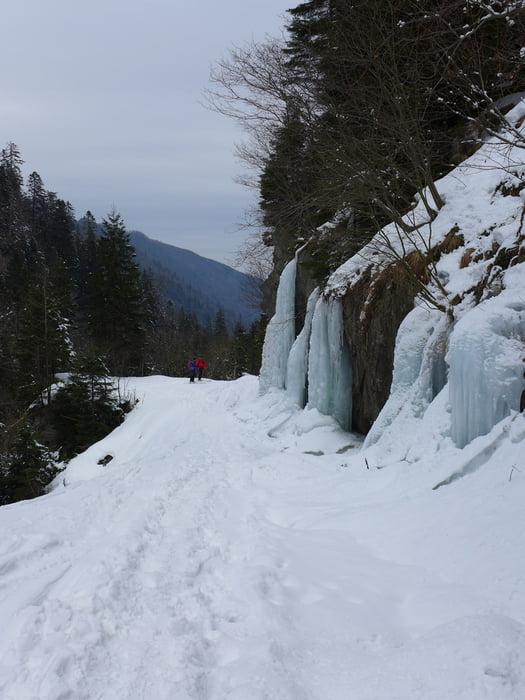
Von der Hütte die oberen Kehren des Wanderwegs durch den lichten Wald abkürzen, dann auf dem Wanderweg weite Querung nach rechts und wiederum durch lichten Wald hinab. Die unterste Steilstufe umgehr man nach links auf der Forststraße der man mit einem Gegenanstieg und ein paar Flachstücken bis ins Tal folgt. Die letzte Kehre vor dem Talgrund kann wieder durch den Wald abgekürzt werden. Mit dem Auto kann u.U. bis zum Steinbruch gefahren werden, dann entfällt fast die gesamte Forststraßenabfahrt.

 Jahreszeit der Tour: Mitte Februar

Galerija izletov

Zemljevid in višinski profil izleta

  • Open Street Map
  • Google
Minimum height 558 m Maximum height 1534 m Prikaz podrobnosti

More about the tour author

Gi
Member since 2010

Send private message

Komentarji

Siehe Aufstieg zur Negoiu Hütte https://www.gps-tour.info/de/touren/avenue.156999.html


Poti GPS

Trackpoints
  • GPX / Garmin Map Source (gpx) download
  • TCX / Garmin Training Center® (tcx) download
  • CRS / Garmin Training Center® (crs) download
  • Google Earth (kml) download
  • G7ToWin (g7t) download
  • TTQV (trk) download
  • Overlay (ovl) download
  • Fugawi (txt) download
  • Kompass (DAV) Track (tk) download
  • List z izleti (pdf) download
  • Original file of the author (gpx) download

More about the tour author

Gi
Member since 2010

Send private message
Share track
Add to my favorites
Remove from my favorites
Edit tags
My score
Rate
Izlet: Abfahrt von der Negoiu Hütte
Vrsta: Smuči
Dolžina: 10,3 km
Evaluated on:
Trajanje:
Day(s)
Hour(s)
Minute(s)
Ocena: Pokrajina Dejavnik zabave Kondicija Tehnika