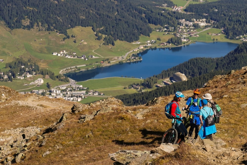
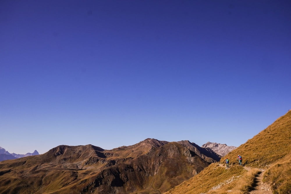
Bis Tschuggen leicht, dann stark ansteigender Trail zur Bergstation (nur im Winter in Betrieb). Die Anstrengung lohnt: Der Trail über den Grat bietet eine grandiose Aussicht und Fahrspaß pur. Flowig mit einigen technischen Stellen geht es schließlich bergab bis zum Davoser See.
Further information at
https://supertrail.guide/touren/davos-pischa/Galerija izletov
Zemljevid in višinski profil izleta
Minimum height 1537 m
Maximum height 2485 m
Komentarji
Poti GPS
Trackpoints-
GPX / Garmin Map Source (gpx) download
-
TCX / Garmin Training Center® (tcx) download
-
CRS / Garmin Training Center® (crs) download
-
Google Earth (kml) download
-
G7ToWin (g7t) download
-
TTQV (trk) download
-
Overlay (ovl) download
-
Fugawi (txt) download
-
Kompass (DAV) Track (tk) download
-
List z izleti (pdf) download
-
Original file of the author (gpx) download
Add to my favorites
Remove from my favorites
Edit tags
Open track
My score
Rate


superschön