


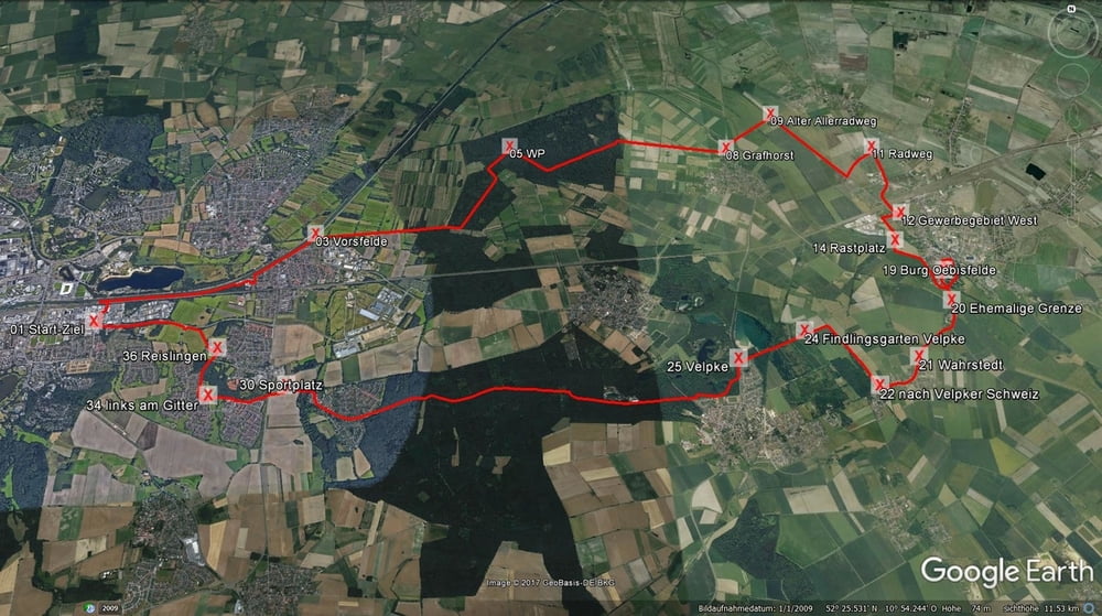
Start und Ziel in Wolfsburg ist die Kreuzung Dieselstraße/Lerchenweg.
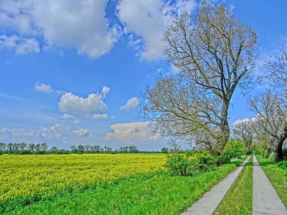
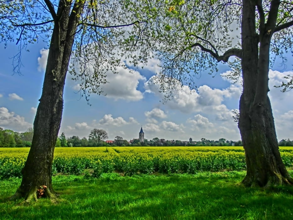
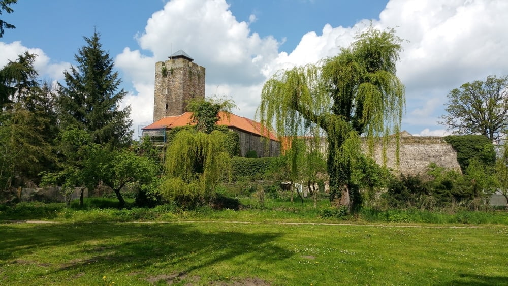
Von hier aus geht's am Mittellandkanal Richtung Vorsfelde, dann durch den Dröhmling nach Grafhorst. Dann fahren wir weiter Richtung Oebisfelde (Burg- und Heimatmuseum Oebisfelde)
Weiter geht's nach Büstedt ehemalige Grenzanlage, danach fahren wir weiter Richtung Wahrstedt.
In Wahrstedt geht's dann Richtung Velpker Schweiz. Am Findlingsgarten Velpke kann man sich über die Findlinge Erkundigen. Dann geht's zur Velpker Schweiz weiter. Dann gehts Richtung Neuhaus über Reislingen bis wir am Anfangspunkt wieder zurück kommen.
Genauere Beschreibung mit Fotos auf meiner Homepage
Further information at
http://www.wolfsburg-gps-tour.deGalerija izletov
Zemljevid in višinski profil izleta
Minimum height 57 m
Maximum height 105 m
More about the tour author
|
|
KlausWob |
Komentarji

Diese Tour und weitere
befinden sich beschrieben auf
meiner Homepage unter
Meine MTB Touren
unter
http://www.wolfsburg-gps-tour.de
viel spaß beim nachfahren
von Klaus
Poti GPS
Trackpoints-
GPX / Garmin Map Source (gpx) download
-
TCX / Garmin Training Center® (tcx) download
-
CRS / Garmin Training Center® (crs) download
-
Google Earth (kml) download
-
G7ToWin (g7t) download
-
TTQV (trk) download
-
Overlay (ovl) download
-
Fugawi (txt) download
-
Kompass (DAV) Track (tk) download
-
List z izleti (pdf) download
-
Original file of the author (gpx) download
More about the tour author
|
|
KlausWob |
Add to my favorites
Remove from my favorites
Edit tags
Open track
My score
Rate