Login

Si pozabil/a podatke za prijavo?

Cookies have to be accepted!
Your browser's cookie functionality is disabled. Please enable this functionality.

Not a member yet?

Register now
Login

Available for registred users only

Log in to use this feature.

Si pozabil/a podatke za prijavo?

Cookies have to be accepted!
Your browser's cookie functionality is disabled. Please enable this functionality.

Not a member yet?

Register now
Filter
Kategorije
Advanced filters
  • Dolžina (km)
  • Metri nadmorske višine
Shrani filter Reset filter

TrackRank

QRCode

Technical data

Dolžina58,2 km Metri nadmorske višine2124 m Way down2101 m Trajanje05:15 h:m Datum16.06.2017
Ocene Author Pokrajina Dejavnik zabave Kondicija Tehnika

Statistika

295 Pogledi Ocene 79 Prenosi Povprečje
Rate
  • List z izleti
  • Prihod
  • Prenosi

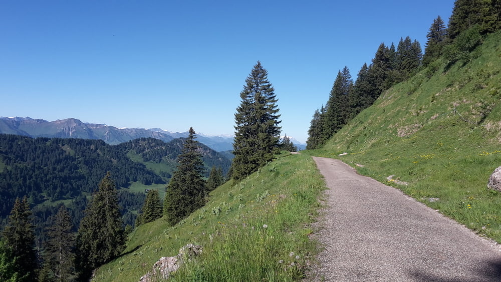
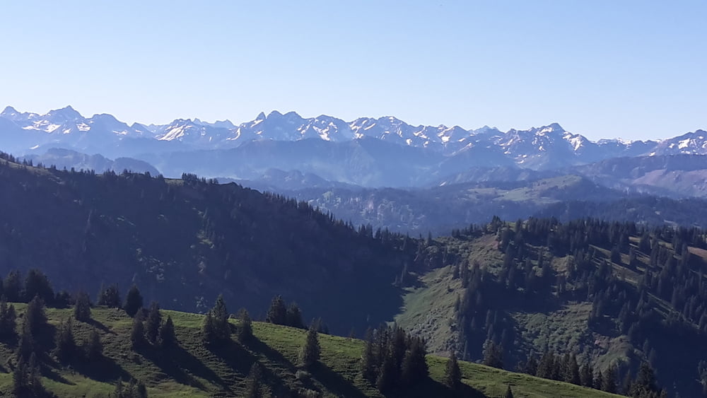
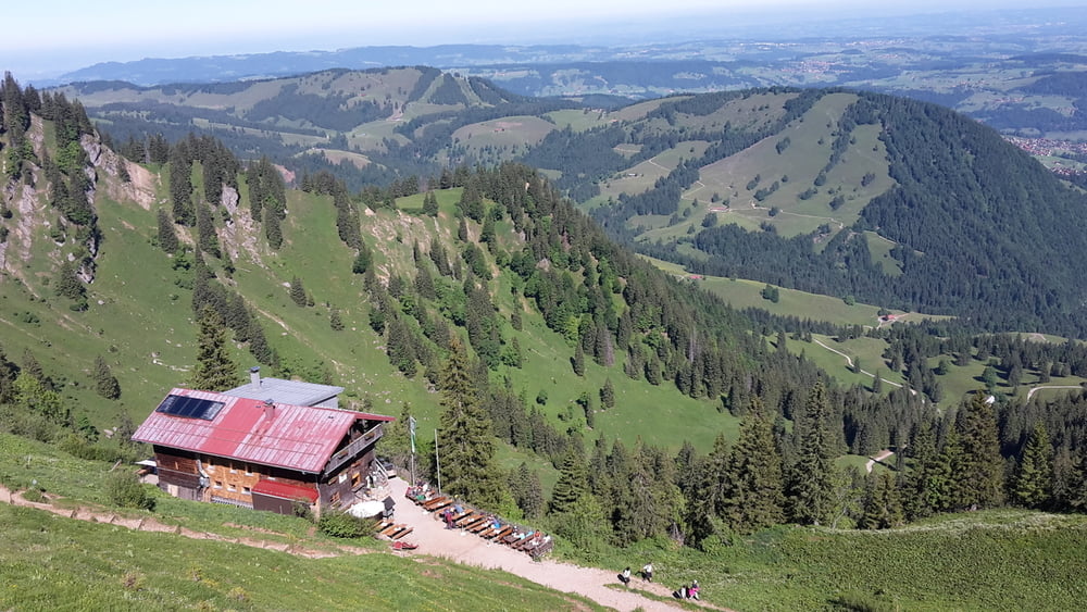
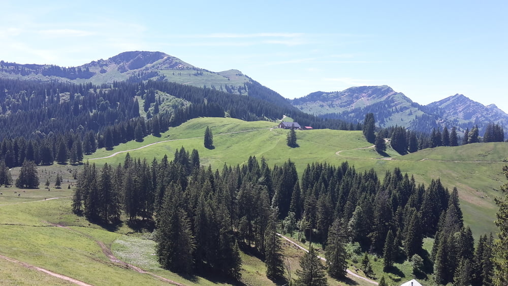
von Immenstadt zum Allgäuer Berghof und Scheidwangalpe zum Hochgrat, weiter zur Talstation, Alpe Untereck. Steil bergauf zur Alpe Gund und über Kemptener Naturfreundehaus zum Startpunkt.


Galerija izletov

Zemljevid in višinski profil izleta

  • Open Street Map
  • Google
Minimum height 703 m Maximum height 1686 m Prikaz podrobnosti

More about the tour author

eder_m
Member since 2008

Send private message

Komentarji

Poti GPS

Trackpoints
  • GPX / Garmin Map Source (gpx) download
  • TCX / Garmin Training Center® (tcx) download
  • CRS / Garmin Training Center® (crs) download
  • Google Earth (kml) download
  • G7ToWin (g7t) download
  • TTQV (trk) download
  • Overlay (ovl) download
  • Fugawi (txt) download
  • Kompass (DAV) Track (tk) download
  • List z izleti (pdf) download
  • Original file of the author (gpx) download

More about the tour author

eder_m
Member since 2008

Send private message
Share track
Add to my favorites
Remove from my favorites
Edit tags
My score
Rate
Izlet: Nagelfluh Hochgrat
Vrsta: Gorsko kolo
Dolžina: 58,2 km
Evaluated on:
Trajanje:
Day(s)
Hour(s)
Minute(s)
Ocena: Pokrajina Dejavnik zabave Kondicija Tehnika