

Dit is de derde dag van de fietstocht langs de Hadrianus muur en Wainwrights Coast to coast route. De low budget route gaat van camping naar camping. Het gedeelte langs de Hadrianus muur volgt de National Cycle Route 72 tot Carlisle. Na Carlisle buigt de track in richting van St. Bees, het startpunt van Wainwrights coast to coast van de Ierse zee naar de Noordzee.. Deze coast to coast route is van oorsprong een wandelpad. Ik heb geprobeerd om fietspaden en stille wegen op te nemen die zo dicht mogelijk bij de wandelroute liggen.
This is the third day of the cycle route along the Hadrian's Wall and Wainwrights Coast tot Coast.
The low budget route goes from campsite to campsite . The part along the Hadrian's Wall follows the National Cycle Route 72 till Carlisle. After Carlisle the track bends in the direction of St. Bees the starting point of Wainwrights Coast to Coast from the Irish sea to the North sea. This coast to coast route is a walking route. I tried to use cyclingpaths and quiet roads that are situated as near as possible to the walkingroute.
Galerija izletov


Zemljevid in višinski profil izleta
Minimum height 99999 m
Maximum height -99999 m
More about the tour author

|
partnair |
Komentarji

Deze dag een korte route. Pas op het eind, vanaf Whitehaven, wordt het behoorlijk heuvelachtig.
Let vanaf en na waypoint 17 goed op. Als je de afslag mist is het fietspad naar Workington en Whitehaven erg moeilijk terug te vinden.
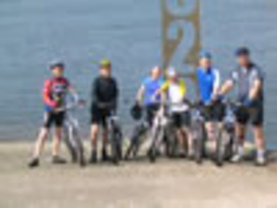
Even na Seaton zie je de Ierse zee al. Whitehaven is een bezoek waard. In de gekleurde gebouwen vind je goede restaurants en tearooms. Whitehaven is de startplaats van de C2C route. Het C2C monument vind je aan de haven. Mensen die de C2C route rijden dopen hier hun voorwiel in de Ierse zee. Let op: zeewater is niet goed voor de velgen. Vanaf Whitehaven naar St Bees is redelijk pittig.
De seacote camping is absoluut niet ingericht voor hikers en Bikers. Je kunt je toevlucht in het bijbehorende hotel zoeken
Doop je schoen of voorwiel in de Ierse zee en raap een steentje van het strand. Dat steentje neem je mee om in Robin Hoods Bay in de Noordzee te werpen.
This day a short track. Only on the end, from Whitehaven to St. Bees, it gets a bit demanding.
Beware: pay attention at and after waypoint 17. If you miss the entrance of the cyclepath it becomes difficult to find the cyclingpath to Workington and Whitehaven again.
Just after Seaton you can see the Irish sea. Visiting Whitehaven is worthwile. In the colorful buildings you can find good restaurants and tearooms. Whitehaven is the startingpoint of the C2C cyclingroute. The C2C monument is situated at the harbour. People who start here the C2C route dip their frontwheel in the Irish sea. Take care: bicycles don't like seawater.
From Whitehaven to St. Bees there are some tough hills to climb.The Seacote campsite is absolutely not accomodated for hikers and bikers. You can find shelter in the Hotel that is a part of the seacote park.
Dip your shoe or frontwheel in the Irish sea and pick up a pebble from the beach. Take this pebble with you to throw it in the Northsea in Robin Hoods Bay
Poti GPS
Trackpoints-
GPX / Garmin Map Source (gpx) download
-
TCX / Garmin Training Center® (tcx) download
-
CRS / Garmin Training Center® (crs) download
-
Google Earth (kml) download
-
G7ToWin (g7t) download
-
TTQV (trk) download
-
Overlay (ovl) download
-
Fugawi (txt) download
-
Kompass (DAV) Track (tk) download
-
List z izleti (pdf) download
-
Original file of the author (gpx) download
More about the tour author
|
|
partnair |
Add to my favorites
Remove from my favorites
Edit tags
Open track
My score
Rate