Login

Si pozabil/a podatke za prijavo?

Cookies have to be accepted!
Your browser's cookie functionality is disabled. Please enable this functionality.

Not a member yet?

Register now
Login

Available for registred users only

Log in to use this feature.

Si pozabil/a podatke za prijavo?

Cookies have to be accepted!
Your browser's cookie functionality is disabled. Please enable this functionality.

Not a member yet?

Register now
Filter
Kategorije
Advanced filters
  • Dolžina (km)
  • Metri nadmorske višine
Shrani filter Reset filter

TrackRank

QRCode

Technical data

Dolžina24,8 km Metri nadmorske višine205 m Way down205 m Trajanje01:45 h:m Datum17.08.2017
Ocene Author Pokrajina Dejavnik zabave Kondicija Tehnika

Statistika

254 Pogledi Ocene 53 Prenosi Povprečje
Rate
  • List z izleti
  • Prihod
  • Prenosi
Schöne Tour durch den idyllischen Unterhölzer Wald bei Geisingen,

Zemljevid in višinski profil izleta

  • Open Street Map
  • Google
Minimum height 662 m Maximum height 735 m Prikaz podrobnosti

More about the tour author

krawallole
Member since 2016

Send private message

Komentarji

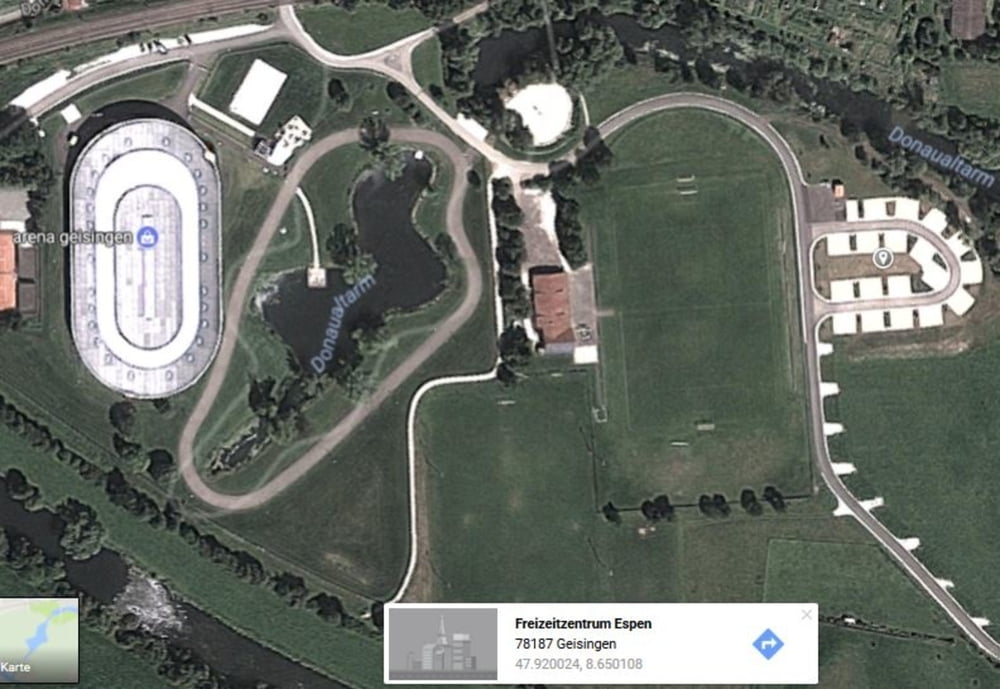
Über die B31 Abfahrt Geisingen, Parkmöglichkeiten am Campingplatz "Auf Espen" näche der Skater-Arena.

Poti GPS

Trackpoints
  • GPX / Garmin Map Source (gpx) download
  • TCX / Garmin Training Center® (tcx) download
  • CRS / Garmin Training Center® (crs) download
  • Google Earth (kml) download
  • G7ToWin (g7t) download
  • TTQV (trk) download
  • Overlay (ovl) download
  • Fugawi (txt) download
  • Kompass (DAV) Track (tk) download
  • List z izleti (pdf) download
  • Original file of the author (gpx) download

More about the tour author

krawallole
Member since 2016

Send private message
Share track
Add to my favorites
Remove from my favorites
Edit tags
My score
Rate
Izlet: Unterhölzer Wald
Vrsta: Gorsko kolo
Dolžina: 24,8 km
Evaluated on:
Trajanje:
Day(s)
Hour(s)
Minute(s)
Ocena: Pokrajina Dejavnik zabave Kondicija Tehnika