Login

Si pozabil/a podatke za prijavo?

Cookies have to be accepted!
Your browser's cookie functionality is disabled. Please enable this functionality.

Not a member yet?

Register now
Login

Available for registred users only

Log in to use this feature.

Si pozabil/a podatke za prijavo?

Cookies have to be accepted!
Your browser's cookie functionality is disabled. Please enable this functionality.

Not a member yet?

Register now
Filter
Kategorije
Advanced filters
  • Dolžina (km)
  • Metri nadmorske višine
Shrani filter Reset filter

TrackRank

QRCode

Technical data

Dolžina23,1 km Metri nadmorske višine55 m Way down64 m Trajanje01:30 h:m Datum24.08.2017
Ocene Author User Pokrajina Dejavnik zabave Kondicija Tehnika

Statistika

169 Pogledi 1 Ocena 23 Prenosi 3.00 Povprečje
Rate
  • List z izleti
  • Prihod
  • Prenosi
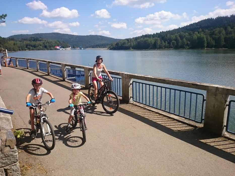
Dies ist eine kindertaugliche Runde auf Asphalt. Beim Umstieg auf das Auto hab ich vergessen, die Stoppuhr am Navi anzuhalten.

Galerija izletov

Zemljevid in višinski profil izleta

  • Open Street Map
  • Google
Minimum height 725 m Maximum height 758 m Prikaz podrobnosti

More about the tour author

rjkas
Member since 2003

Send private message

Komentarji

Poti GPS

Trackpoints
  • GPX / Garmin Map Source (gpx) download
  • TCX / Garmin Training Center® (tcx) download
  • CRS / Garmin Training Center® (crs) download
  • Google Earth (kml) download
  • G7ToWin (g7t) download
  • TTQV (trk) download
  • Overlay (ovl) download
  • Fugawi (txt) download
  • Kompass (DAV) Track (tk) download
  • List z izleti (pdf) download
  • Original file of the author (tcx) download

More about the tour author

rjkas
Member since 2003

Send private message
Share track
Add to my favorites
Remove from my favorites
Edit tags
My score
Rate
Izlet: Moldaustausee Süd-Ostrunde mit Fähre
Vrsta: Treking kolo
Dolžina: 23,1 km
Evaluated on:
Trajanje:
Day(s)
Hour(s)
Minute(s)
Ocena: Pokrajina Dejavnik zabave Kondicija Tehnika