
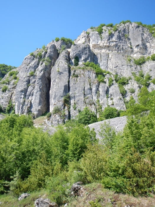

The trail starts on a dust road, down the hill. After 650m, on the right side, you see the beginn of a small trail, in south direction. The trail goes through trees and grass land to the stone bridge Liatissa.
From there, on the other side of the river, it goes up the hill.
Between X1 and X2 you can also use a dust road, which is shorter than the trail in the wood.
From X2 it goes down to the stone bridge Katsougianni. After this bridge there is again a dust road, up the hill, back to the start.
Galerija izletov


Zemljevid in višinski profil izleta
Minimum height 612 m
Maximum height 816 m
More about the tour author

|
Mapdekode |
Komentarji

Poti GPS
Trackpoints-
GPX / Garmin Map Source (gpx) download
-
TCX / Garmin Training Center® (tcx) download
-
CRS / Garmin Training Center® (crs) download
-
Google Earth (kml) download
-
G7ToWin (g7t) download
-
TTQV (trk) download
-
Overlay (ovl) download
-
Fugawi (txt) download
-
Kompass (DAV) Track (tk) download
-
List z izleti (pdf) download
-
Original file of the author (gpx) download
More about the tour author
|
|
Mapdekode |
Add to my favorites
Remove from my favorites
Edit tags
Open track
My score
Rate