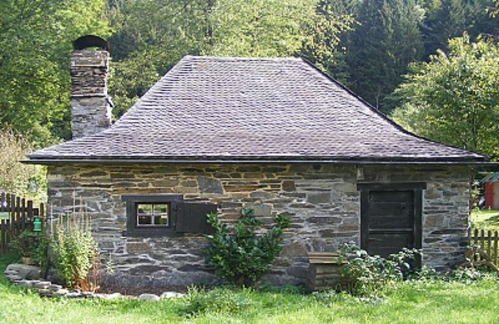
 Bereits die Anfahrt ist ein Erlebnis, ganz gleich, aus welcher Richtung man kommt: Das tiefe Tal mit seinen Felsen und bewaldeten Hängen, die Rur, die sich munter und kraftvoll zugleich ihren Weg bahnt, die fruchtbaren Wiesen und natürlich Hammer, das sich eng an den Rand des Talgrundes schmiegt.Eine umfangreiche Wegbeschreibung zu dieser Tour entnehmen Sie bitte dem beiliegenden Flyer.
Flyer zur Tour: Download
Further information at
http://der-eifelyeti.de/2017/02/20/hammer/Zemljevid in višinski profil izleta
Minimum height 326 m
Maximum height 421 m
Komentarji

Poti GPS
Trackpoints-
GPX / Garmin Map Source (gpx) download
-
TCX / Garmin Training Center® (tcx) download
-
CRS / Garmin Training Center® (crs) download
-
Google Earth (kml) download
-
G7ToWin (g7t) download
-
TTQV (trk) download
-
Overlay (ovl) download
-
Fugawi (txt) download
-
Kompass (DAV) Track (tk) download
-
List z izleti (pdf) download
-
Original file of the author (gpx) download
Add to my favorites
Remove from my favorites
Edit tags
Open track
My score
Rate

