
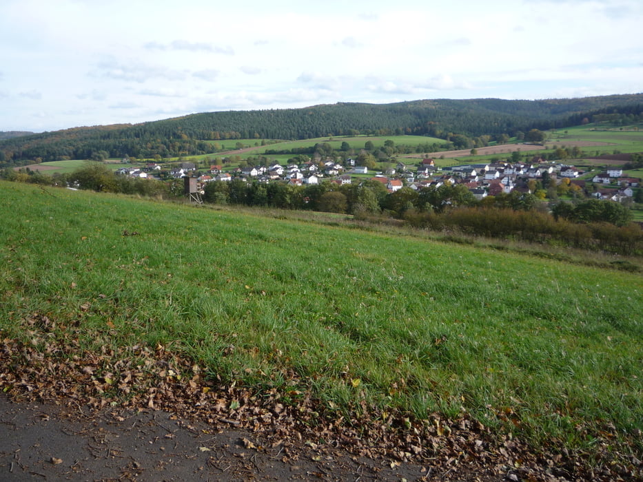

Sehr schöne Fernwanderung, weitestgehend auf Waldwegen und befestigten Waldwegen.
Wenige Asphaltabschnitte.
Unterwegs praktisch keine Einkehrmöglichkeit.
Wenn man unseren Weg in der anderen Richtung läuft bietet sich die Bayrische Schanz an, um dort zum Abschluss einzukehren
Zemljevid in višinski profil izleta
Minimum height 157 m
Maximum height 529 m
More about the tour author

|
Karl_HU |
Komentarji

Wir haben uns mit dem Auto zur Bayrischen Schanz
http://www.bayrische-schanz.de/index.html fahren lassen und sind von dort aus losgelaufen.
http://www.bayrische-schanz.de/index.html fahren lassen und sind von dort aus losgelaufen.
Poti GPS
Trackpoints-
GPX / Garmin Map Source (gpx) download
-
TCX / Garmin Training Center® (tcx) download
-
CRS / Garmin Training Center® (crs) download
-
Google Earth (kml) download
-
G7ToWin (g7t) download
-
TTQV (trk) download
-
Overlay (ovl) download
-
Fugawi (txt) download
-
Kompass (DAV) Track (tk) download
-
List z izleti (pdf) download
-
Original file of the author (gpx) download
More about the tour author
|
|
Karl_HU |
Add to my favorites
Remove from my favorites
Edit tags
Open track
My score
Rate