Login

Si pozabil/a podatke za prijavo?

Cookies have to be accepted!
Your browser's cookie functionality is disabled. Please enable this functionality.

Not a member yet?

Register now
Login

Available for registred users only

Log in to use this feature.

Si pozabil/a podatke za prijavo?

Cookies have to be accepted!
Your browser's cookie functionality is disabled. Please enable this functionality.

Not a member yet?

Register now
Filter
Kategorije
Advanced filters
  • Dolžina (km)
  • Metri nadmorske višine
Shrani filter Reset filter

TrackRank

QRCode

Technical data

Dolžina15,5 km Metri nadmorske višine326 m Way down299 m Trajanje04:30 h:m Datum03.11.2017
Ocene Author Pokrajina Dejavnik zabave Kondicija Tehnika

Statistika

284 Pogledi Ocene 26 Prenosi Povprečje
Rate
  • List z izleti
  • Prihod
  • Prenosi

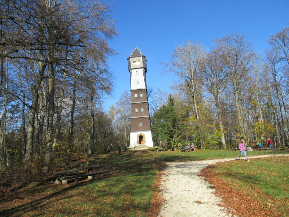
Schöne Tour zwischen Römerstein-Böhringen und Donnstetten.

Über den Römersteinturm gehts hinunter nach Donnstetten zur Rodelbahn.

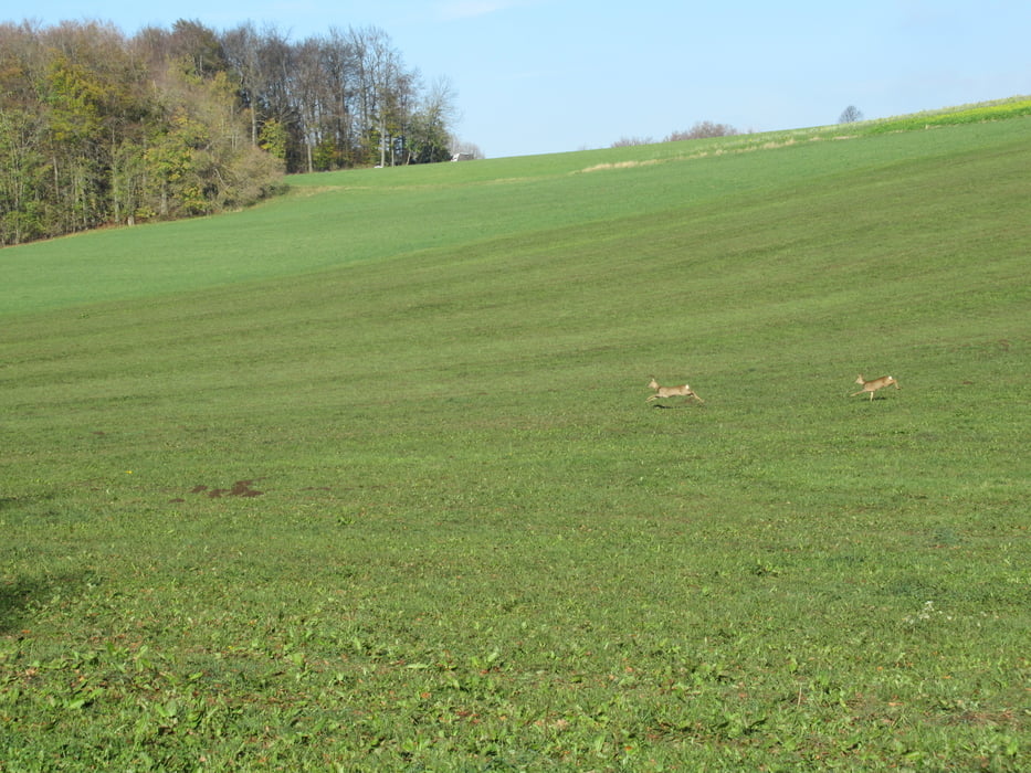
Danach durch Wälder, Wiesen und Wacholderheiden zurück zum Ausgangspunkt.

Galerija izletov

Zemljevid in višinski profil izleta

  • Open Street Map
  • Google
Minimum height 745 m Maximum height 903 m Prikaz podrobnosti

More about the tour author

Guddy
Member since 2009

Send private message

Komentarji

Poti GPS

Trackpoints
  • GPX / Garmin Map Source (gpx) download
  • TCX / Garmin Training Center® (tcx) download
  • CRS / Garmin Training Center® (crs) download
  • Google Earth (kml) download
  • G7ToWin (g7t) download
  • TTQV (trk) download
  • Overlay (ovl) download
  • Fugawi (txt) download
  • Kompass (DAV) Track (tk) download
  • List z izleti (pdf) download
  • Original file of the author (gpx) download

More about the tour author

Guddy
Member since 2009

Send private message
Share track
Add to my favorites
Remove from my favorites
Edit tags
My score
Rate
Izlet: Römersteinturm
Vrsta: Pešačenje
Dolžina: 15,5 km
Evaluated on:
Trajanje:
Day(s)
Hour(s)
Minute(s)
Ocena: Pokrajina Dejavnik zabave Kondicija Tehnika