


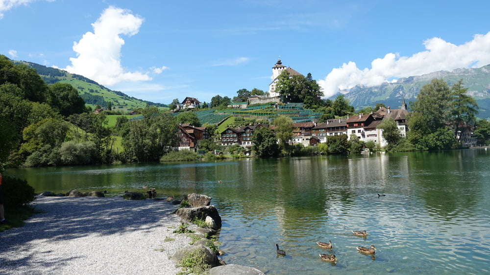
diese Tour führt vom Bodensee ins wunderschöne Tessin.
Zunächst am Alpenrhein entlang bis nach Chur.
Im weiteren Verlauf durch die via Mala Schlucht nach Splügen und dann bis zum Fuße des San Bernadino.
Hier kann auf der alten PaßStraße die Paßhöhe erklommen werden - der Tunnel ist für Radfahrer gesperrt.
Dann folgt die entspannte Abfahrt ins Tessin an den Lago Maggiore ...
Galerija izletov


Zemljevid in višinski profil izleta
Minimum height 99999 m
Maximum height -99999 m
More about the tour author
|
|
Berndinho |
Komentarji

BAB A96, vorbei an Lindau,
weiter auf der A14, dann nach dem Pfändertunnel Ausfahrt Bregenz ... weiter bis Hard
Poti GPS
Trackpoints-
GPX / Garmin Map Source (gpx) download
-
TCX / Garmin Training Center® (tcx) download
-
CRS / Garmin Training Center® (crs) download
-
Google Earth (kml) download
-
G7ToWin (g7t) download
-
TTQV (trk) download
-
Overlay (ovl) download
-
Fugawi (txt) download
-
Kompass (DAV) Track (tk) download
-
List z izleti (pdf) download
-
Original file of the author (gpx) download
More about the tour author
|
|
Berndinho |
Add to my favorites
Remove from my favorites
Edit tags
Open track
My score
Rate