


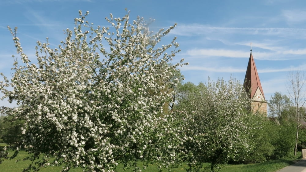
Die Wanderung ist etwas länger aber verläuft fast eben dahin. Nach anfänglichem Föhrenwald geht es durch Laubwälder, vielen Weihern und Bachauen in frischem, leuchtendem Grün gut gekenzeichnet durch die Markierung "Seeländer" bzw. "Mühlenweg"/ "Weiherweg. An der Fuchsmühle vorbei über Unterrödel nach Zell. Rückweg nach Unterrödel, auf dem Herweg zur Fuchsmühe, nunmehr mit lohnenswerter Einkehr! Rechts haltend weiter über Hofstetten nach Haimpfarrich mit Abstecher zur Schleuße am Rhein- Main- Donau- Kanal und bald durch saftige Auen an der kleinen Roth entlang zurück nach Eckersmühlen.
Galerija izletov


Zemljevid in višinski profil izleta
Minimum height 353 m
Maximum height 416 m
More about the tour author
|
|
heinz-57 |
Komentarji

Von Roth/ Mfr. kommend nach Eckersmühlen, dort in die "Neue Siedlung". Am Ende der Straße Parkmöglichkeit bei Spielplatz.
Poti GPS
Trackpoints-
GPX / Garmin Map Source (gpx) download
-
TCX / Garmin Training Center® (tcx) download
-
CRS / Garmin Training Center® (crs) download
-
Google Earth (kml) download
-
G7ToWin (g7t) download
-
TTQV (trk) download
-
Overlay (ovl) download
-
Fugawi (txt) download
-
Kompass (DAV) Track (tk) download
-
List z izleti (pdf) download
-
Original file of the author (gpx) download
More about the tour author
|
|
heinz-57 |
Add to my favorites
Remove from my favorites
Edit tags
Open track
My score
Rate