Login

Si pozabil/a podatke za prijavo?

Cookies have to be accepted!
Your browser's cookie functionality is disabled. Please enable this functionality.

Not a member yet?

Register now
Login

Available for registred users only

Log in to use this feature.

Si pozabil/a podatke za prijavo?

Cookies have to be accepted!
Your browser's cookie functionality is disabled. Please enable this functionality.

Not a member yet?

Register now
Filter
Kategorije
Advanced filters
  • Dolžina (km)
  • Metri nadmorske višine
Shrani filter Reset filter

TrackRank

QRCode

Technical data

Dolžina12,7 km Metri nadmorske višine250 m Way down256 m Trajanje04:00 h:m Datum13.05.2018
Ocene Author Pokrajina Dejavnik zabave Kondicija Tehnika

Statistika

255 Pogledi Ocene 15 Prenosi Povprečje
Rate
  • List z izleti
  • Prihod
  • Prenosi
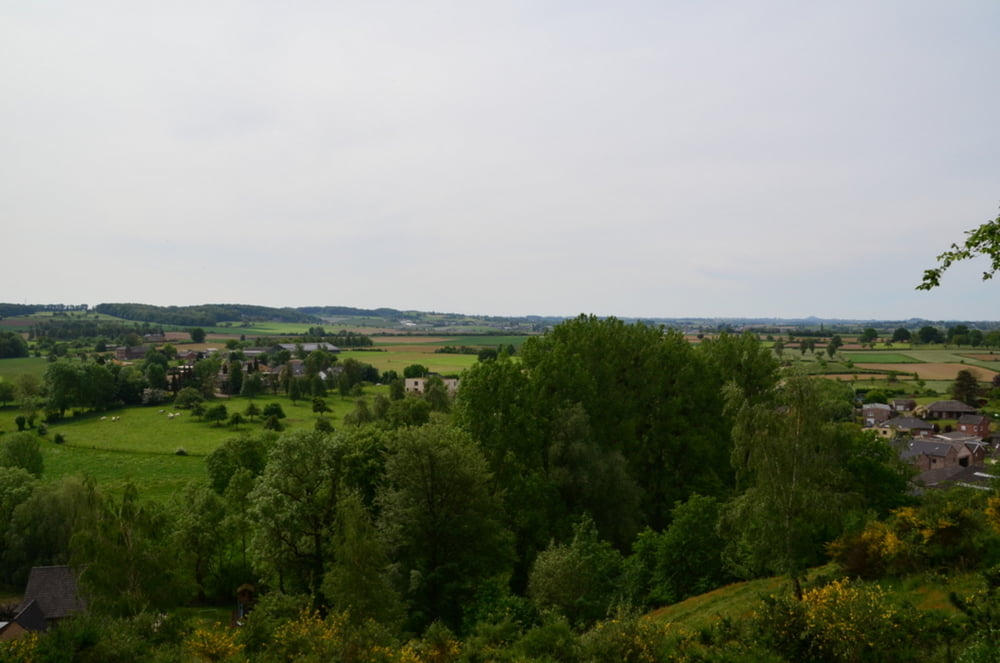
Leuke en piitige wandeling waar degelijk schoeisel aan te raden is.

Galerija izletov

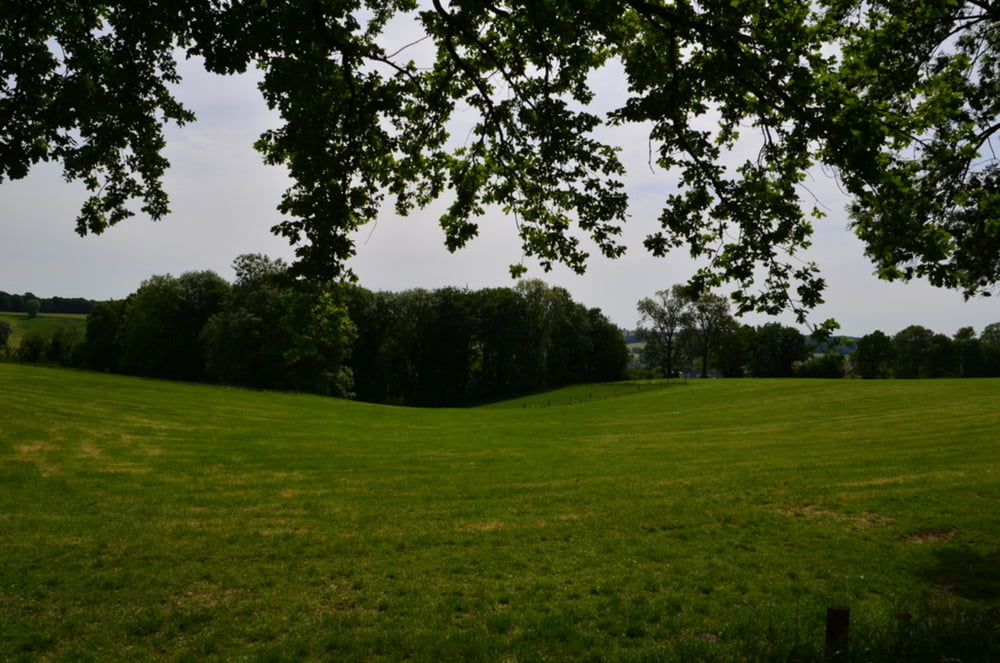
Zemljevid in višinski profil izleta

  • Open Street Map
  • Google
Minimum height 74 m Maximum height 232 m Prikaz podrobnosti

More about the tour author

ikkel
Member since 2009

Send private message

Komentarji

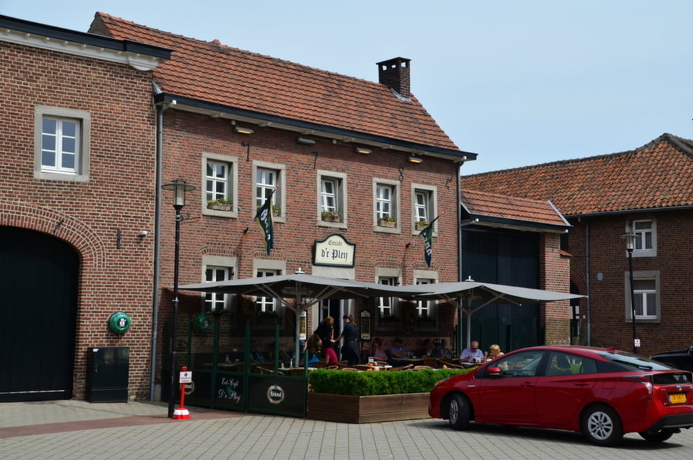
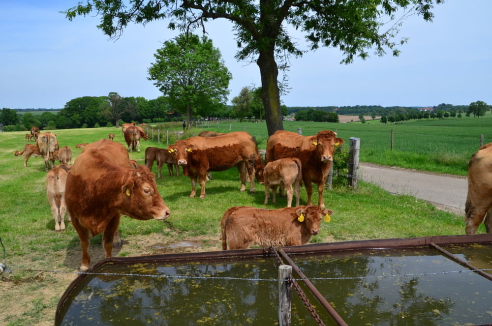
stop zeker eens bij het Bakhuis voor een overheerlijk ijsje gemaakt door melk van eigen vee
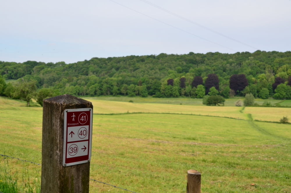
Poti GPS

Trackpoints
  • GPX / Garmin Map Source (gpx) download
  • TCX / Garmin Training Center® (tcx) download
  • CRS / Garmin Training Center® (crs) download
  • Google Earth (kml) download
  • G7ToWin (g7t) download
  • TTQV (trk) download
  • Overlay (ovl) download
  • Fugawi (txt) download
  • Kompass (DAV) Track (tk) download
  • List z izleti (pdf) download
  • Original file of the author (gpx) download

More about the tour author

ikkel
Member since 2009

Send private message
Share track
Add to my favorites
Remove from my favorites
Edit tags
My score
Rate
Izlet: Voerstreek
Vrsta: Pešačenje
Dolžina: 12,7 km
Evaluated on:
Trajanje:
Day(s)
Hour(s)
Minute(s)
Ocena: Pokrajina Dejavnik zabave Kondicija Tehnika