

Dachsteinrunde Tag 3
Dachsteinrunde Blau gefahren mit E-ONESixty800
Start der heutigen Tagesetappt ist Annaberg.
Entlang der Lammer geht es Anfangs fast 10 KM bergab.
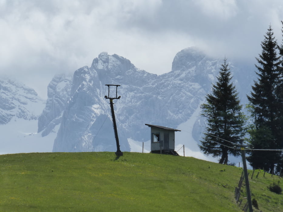
Auffahrt auf Asphalt und später Schotter hinein ins Schigebiet Dachstein.
Abfahrt auf der Schipiste nach Gseng.
Entlang des Rußbaches und vorbei am Hallstättersee retour nach Bad Goisern.
Dachsteinrunde Blau gefahren mit E-ONESixty800
Alle 3 Etappen auf einem Streich
https://www.gps-tour.info/de/touren/detail.163556.html
https://www.gps-tour.info/de/touren/detail.163557.html
https://www.gps-tour.info/de/touren/detail.163558.html
Galerija izletov


Zemljevid in višinski profil izleta
Minimum height 547 m
Maximum height 1425 m
More about the tour author
|
|
Hoar |
Komentarji

Poti GPS
Trackpoints-
GPX / Garmin Map Source (gpx) download
-
TCX / Garmin Training Center® (tcx) download
-
CRS / Garmin Training Center® (crs) download
-
Google Earth (kml) download
-
G7ToWin (g7t) download
-
TTQV (trk) download
-
Overlay (ovl) download
-
Fugawi (txt) download
-
Kompass (DAV) Track (tk) download
-
List z izleti (pdf) download
-
Original file of the author (gpx) download
More about the tour author
|
|
Hoar |
Add to my favorites
Remove from my favorites
Edit tags
Open track
My score
Rate