


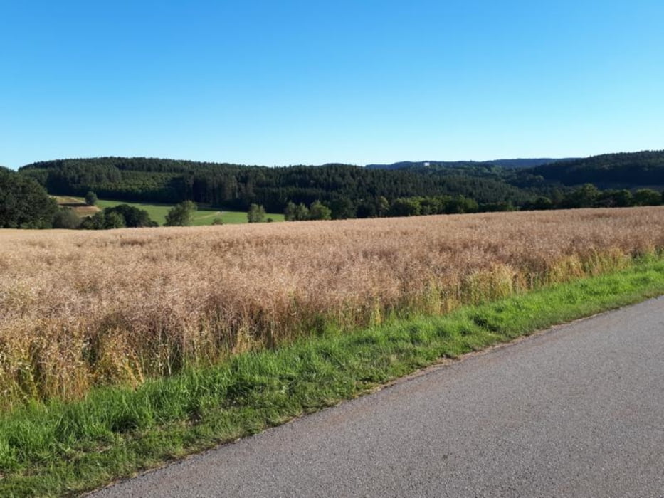
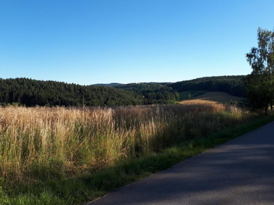
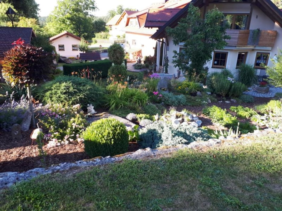
meine Lieblingsstrecke, (abgekürzte, aus diesem Portal übernommene 90km lane Strecke nach Falkenstein) Für mich sind die 67Km als Feierabendrunde gerade noch OK... Die Strecke ist ziemlich hügelig, ab Bernhardswald landschaftlich sehr schön, meistens führt sie über kleine, kaum befahrenen Nebenstraßen. Unterwegs ist einiges zu sehen.... Solaranlagen im Schillertwiesen, mehrmals öffnet sich Blick auf die Burgruine Lobenstein, für Gartenliebhaber ist Garten im Krottenthal eine Augenweide.....
Galerija izletov
Zemljevid in višinski profil izleta
Minimum height 340 m
Maximum height 615 m
More about the tour author

|
Hrabe |
Komentarji

Poti GPS
Trackpoints-
GPX / Garmin Map Source (gpx) download
-
TCX / Garmin Training Center® (tcx) download
-
CRS / Garmin Training Center® (crs) download
-
Google Earth (kml) download
-
G7ToWin (g7t) download
-
TTQV (trk) download
-
Overlay (ovl) download
-
Fugawi (txt) download
-
Kompass (DAV) Track (tk) download
-
List z izleti (pdf) download
-
Original file of the author (gpx) download
More about the tour author
|
|
Hrabe |
Add to my favorites
Remove from my favorites
Edit tags
Open track
My score
Rate