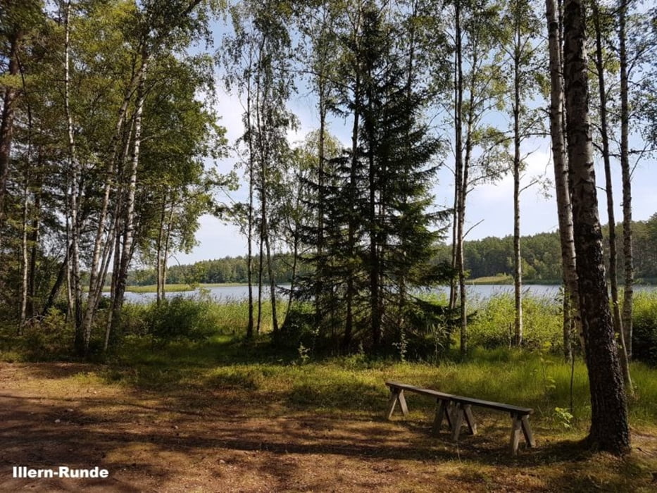
Rundwanderung um den See Illern
5 km - 2h (mit Badepause)
Wir starten an der Hauptstraße 131 (hier ist auch ein Parkplatz).
Wir entscheiden uns fälschlicherweise für die Wanderung in Uhrzeigerrichtung. Besser ist die Wanderung entgegengesetzt, da so die Ausschilderung (Blau) besser zu sehen ist.
Badestelle bei km 2,6
Fazit:
- klein aber sehr fein
- empfehlenswert
Further information at
https://sv.wikipedia.org/wiki/Illern_(Tran%C3%A5s_socken,_Sm%C3%A5land)Galerija izletov
Zemljevid in višinski profil izleta
Minimum height 202 m
Maximum height 219 m
Komentarji

Poti GPS
Trackpoints-
GPX / Garmin Map Source (gpx) download
-
TCX / Garmin Training Center® (tcx) download
-
CRS / Garmin Training Center® (crs) download
-
Google Earth (kml) download
-
G7ToWin (g7t) download
-
TTQV (trk) download
-
Overlay (ovl) download
-
Fugawi (txt) download
-
Kompass (DAV) Track (tk) download
-
List z izleti (pdf) download
-
Original file of the author (gpx) download
Add to my favorites
Remove from my favorites
Edit tags
Open track
My score
Rate


