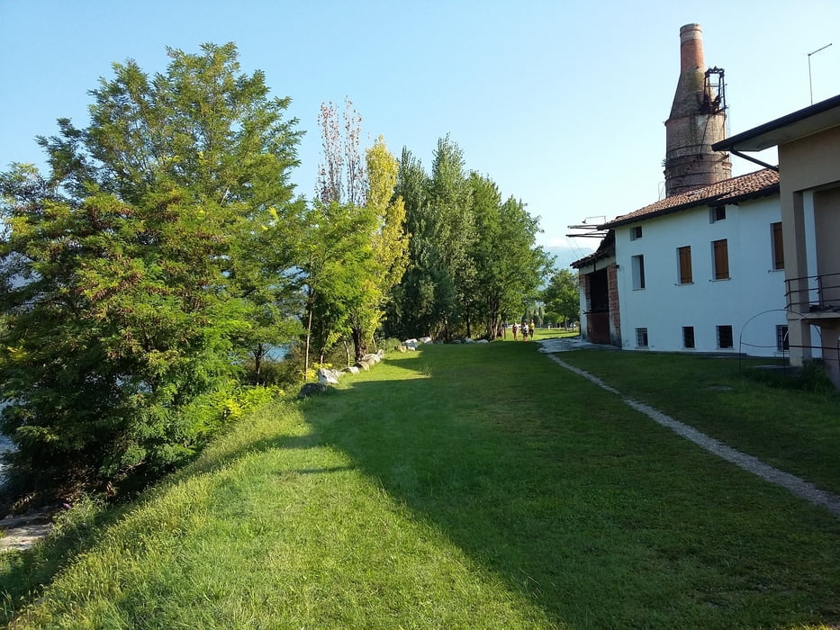
Facile marcia nella parte sud di Bassano del Grappa. Grazioso il percorso nella campagna bassanese, ottimo il tratto sugli argini del fiume Brenta. Bella giornata di settembre.
Galerija izletov
Zemljevid in višinski profil izleta
Minimum height 74 m
Maximum height 122 m
Komentarji

Poti GPS
Trackpoints-
GPX / Garmin Map Source (gpx) download
-
TCX / Garmin Training Center® (tcx) download
-
CRS / Garmin Training Center® (crs) download
-
Google Earth (kml) download
-
G7ToWin (g7t) download
-
TTQV (trk) download
-
Overlay (ovl) download
-
Fugawi (txt) download
-
Kompass (DAV) Track (tk) download
-
List z izleti (pdf) download
-
Original file of the author (gpx) download
Add to my favorites
Remove from my favorites
Edit tags
Open track
My score
Rate


