Login

Si pozabil/a podatke za prijavo?

Cookies have to be accepted!
Your browser's cookie functionality is disabled. Please enable this functionality.

Not a member yet?

Register now
Login

Available for registred users only

Log in to use this feature.

Si pozabil/a podatke za prijavo?

Cookies have to be accepted!
Your browser's cookie functionality is disabled. Please enable this functionality.

Not a member yet?

Register now
Filter
Kategorije
Advanced filters
  • Dolžina (km)
  • Metri nadmorske višine
Shrani filter Reset filter

TrackRank

QRCode

Technical data

Dolžina19,2 km Metri nadmorske višine958 m Way down920 m Trajanje03:40 h:m Datum22.09.2018
Ocene Author User Pokrajina Dejavnik zabave Kondicija Tehnika

Statistika

346 Pogledi 1 Ocena 39 Prenosi 4.00 Povprečje
Rate
  • List z izleti
  • Prihod
  • Prenosi
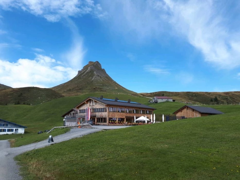
Startpunkt in Damüls bei der Talstation - mit dem Bike hinauf bis zur Uga-Alpe - Pause gemacht und nochmal gestärkt, Wanderschuhe an und auf die  Mittagsspitze (T3)  - etwas ausgesetzt, deshalb war ich froh um die Seilsicherung - dann wieder zurück und mit dem Bike über die mittlere Argealpe auf die Bundesstrasse, dann Rückfahrt nach Damüls.

Galerija izletov

Zemljevid in višinski profil izleta

  • Open Street Map
  • Google
Minimum height 1228 m Maximum height 2060 m Prikaz podrobnosti

More about the tour author

Martin1971
Member since 2015

Send private message

Komentarji

Startpunkt Damüls.

Poti GPS

Trackpoints
  • GPX / Garmin Map Source (gpx) download
  • TCX / Garmin Training Center® (tcx) download
  • CRS / Garmin Training Center® (crs) download
  • Google Earth (kml) download
  • G7ToWin (g7t) download
  • TTQV (trk) download
  • Overlay (ovl) download
  • Fugawi (txt) download
  • Kompass (DAV) Track (tk) download
  • List z izleti (pdf) download
  • Original file of the author (gpx) download

More about the tour author

Martin1971
Member since 2015

Send private message
Share track
Add to my favorites
Remove from my favorites
Edit tags
My score
Rate
Izlet: Damüls - Bike and Hike auf die Mittagsspitze
Vrsta: Gorsko kolo
Dolžina: 19,2 km
Evaluated on:
Trajanje:
Day(s)
Hour(s)
Minute(s)
Ocena: Pokrajina Dejavnik zabave Kondicija Tehnika