Login

Si pozabil/a podatke za prijavo?

Cookies have to be accepted!
Your browser's cookie functionality is disabled. Please enable this functionality.

Not a member yet?

Register now
Login

Available for registred users only

Log in to use this feature.

Si pozabil/a podatke za prijavo?

Cookies have to be accepted!
Your browser's cookie functionality is disabled. Please enable this functionality.

Not a member yet?

Register now
Filter
Kategorije
Advanced filters
  • Dolžina (km)
  • Metri nadmorske višine
Shrani filter Reset filter

TrackRank

QRCode

Technical data

Dolžina7,1 km Metri nadmorske višine284 m Way down264 m Trajanje02:00 h:m Datum18.10.2018
Ocene Author Pokrajina Dejavnik zabave Kondicija Tehnika

Statistika

198 Pogledi Ocene 28 Prenosi Povprečje
Rate
  • List z izleti
  • Prihod
  • Prenosi
Einfach, feste Wege. Geht zwar ordentlich bergauf, aber nur 3.5 km.

Galerija izletov

Zemljevid in višinski profil izleta

  • Open Street Map
  • Google
Minimum height 427 m Maximum height 688 m Prikaz podrobnosti

More about the tour author

lemongras
Member since 2012

Send private message

Komentarji

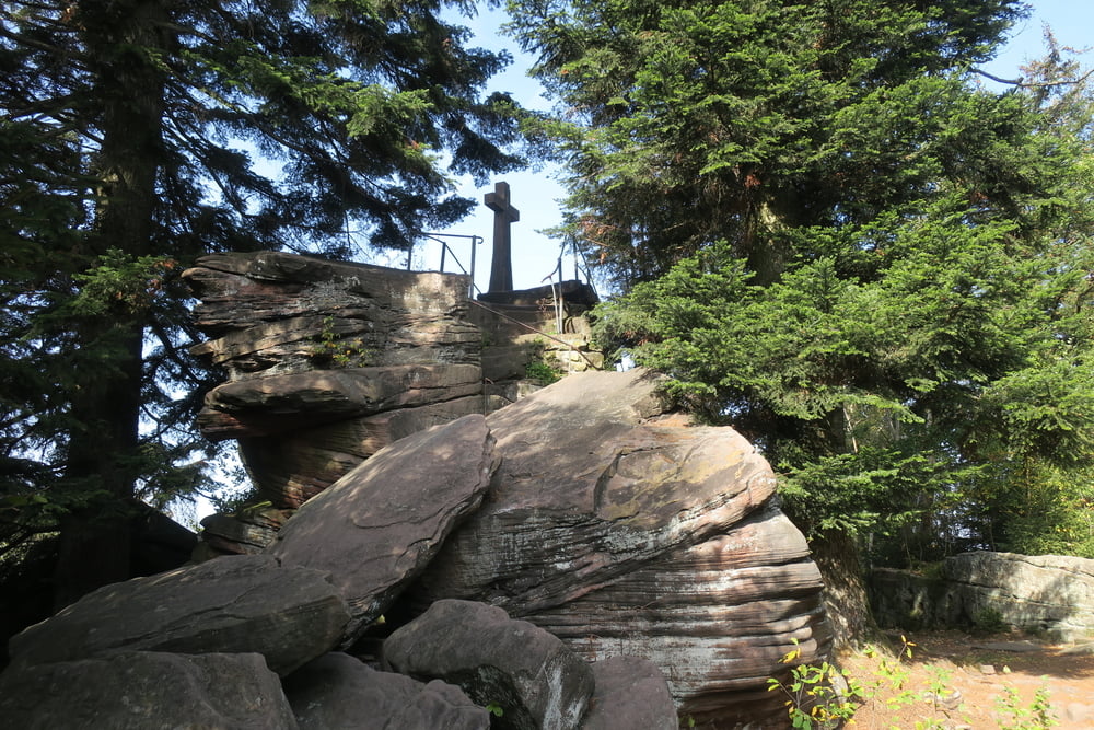
Start am Parkplatz Loffenauer Eck nach Bad Herrenalb in Richtung Loffenau.

Poti GPS

Trackpoints
  • GPX / Garmin Map Source (gpx) download
  • TCX / Garmin Training Center® (tcx) download
  • CRS / Garmin Training Center® (crs) download
  • Google Earth (kml) download
  • G7ToWin (g7t) download
  • TTQV (trk) download
  • Overlay (ovl) download
  • Fugawi (txt) download
  • Kompass (DAV) Track (tk) download
  • List z izleti (pdf) download
  • Original file of the author (gpx) download

More about the tour author

lemongras
Member since 2012

Send private message
Share track
Add to my favorites
Remove from my favorites
Edit tags
My score
Rate
Izlet: Zum Bernstein
Vrsta: Pešačenje
Dolžina: 7,1 km
Evaluated on:
Trajanje:
Day(s)
Hour(s)
Minute(s)
Ocena: Pokrajina Dejavnik zabave Kondicija Tehnika