Login

Si pozabil/a podatke za prijavo?

Cookies have to be accepted!
Your browser's cookie functionality is disabled. Please enable this functionality.

Not a member yet?

Register now
Login

Available for registred users only

Log in to use this feature.

Si pozabil/a podatke za prijavo?

Cookies have to be accepted!
Your browser's cookie functionality is disabled. Please enable this functionality.

Not a member yet?

Register now
Filter
Kategorije
Advanced filters
  • Dolžina (km)
  • Metri nadmorske višine
Shrani filter Reset filter

TrackRank

QRCode

Technical data

Dolžina16,5 km Metri nadmorske višine855 m Way down848 m Trajanje00:00 h:m Datum09.06.2008
Ocene Author Pokrajina Dejavnik zabave Kondicija Tehnika

Statistika

881 Pogledi Ocene 84 Prenosi Povprečje
Rate
  • List z izleti
  • Prihod
  • Prenosi
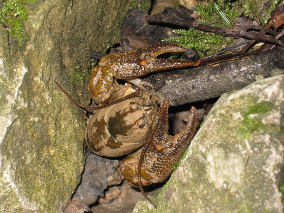
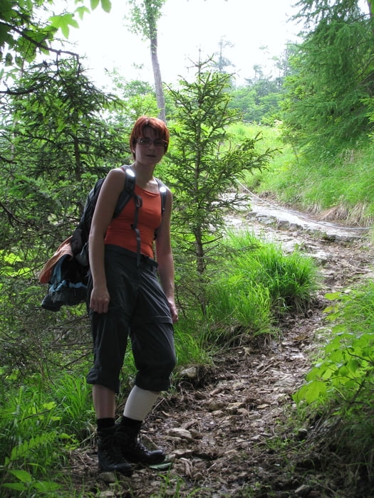
Seit Jahren meine erste Bergwanderung, die  sich ganz im Gegensatz zu den MTB-Touren sehr wohl in spürbaren Muskelkatern niederschlägt. Für Geübte kein Problem, für reine Bikefahrer hingegen wird merkbar, dass ganz andere Muskeln beansprucht werden. Ein Highlight ist gleich ganz am Anfang die Durchsteigung des Klausgrabens. Da fanden wir das Flusskrebschen!

Galerija izletov

Zemljevid in višinski profil izleta

  • Open Street Map
  • Google
Minimum height 348 m Maximum height 1162 m Prikaz podrobnosti

More about the tour author

rjkas
Member since 2003

Send private message

Komentarji

Poti GPS

Trackpoints
  • GPX / Garmin Map Source (gpx) download
  • TCX / Garmin Training Center® (tcx) download
  • CRS / Garmin Training Center® (crs) download
  • Google Earth (kml) download
  • G7ToWin (g7t) download
  • TTQV (trk) download
  • Overlay (ovl) download
  • Fugawi (txt) download
  • Kompass (DAV) Track (tk) download
  • List z izleti (pdf) download
  • Original file of the author (gpx) download

More about the tour author

rjkas
Member since 2003

Send private message
Share track
Add to my favorites
Remove from my favorites
Edit tags
My score
Rate
Izlet: Hohe Dirn bei Losenstein
Vrsta: Pešačenje
Dolžina: 16,5 km
Evaluated on:
Trajanje:
Day(s)
Hour(s)
Minute(s)
Ocena: Pokrajina Dejavnik zabave Kondicija Tehnika