


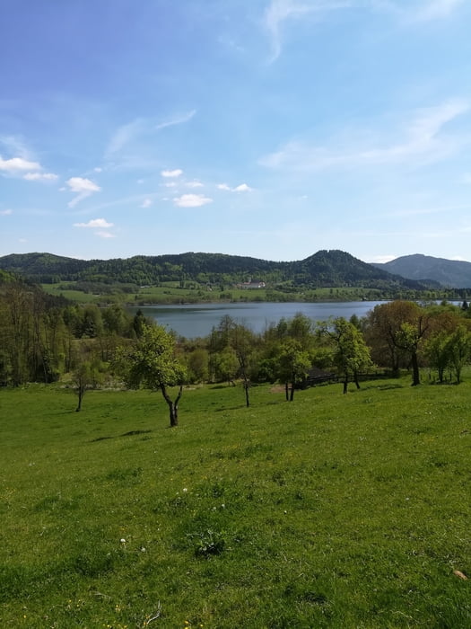
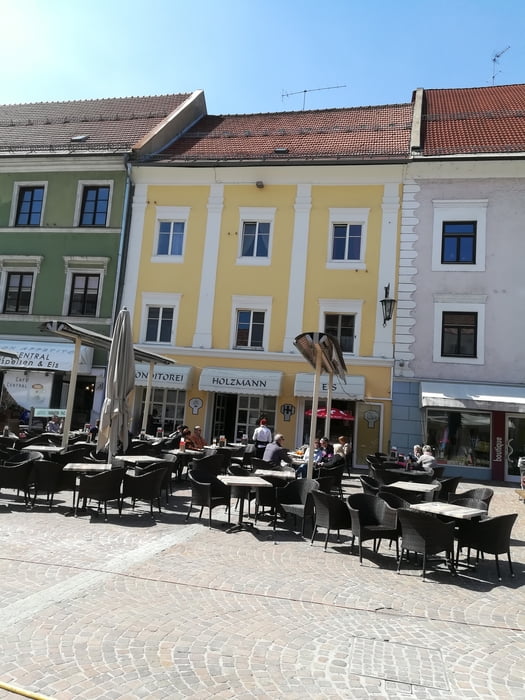
Vom Rotkreuzzentrum in Klagenfurt auf dem Friesacherweg R7 bis Glandorf, nach Untermühlbach und auf der alten Bahntrasse leicht bergauf nach Podlebach und Reipersdorf. Weiter über Thalsdorf nach Launsdorf und Pölling. Hier biegen wir auf die Strasse Richtung Längsee/Rottenstein ab und hier geht es eine Weile ordentlich bergauf. In Rottenstein beim Schloss, das jetzt ein Gefängnis ist, allerdings mit Landwirtschaft, fahren wir nach Norden schön durch den Wald nach Drasendorf und nördlich am Längsee vorbei über Töplach links weg nach Süden, noch vor dem Strandbad rechts nach Dellach und längs des Energie-Radwegs der Gemeinde St. Veit vorbei an Taggenbrunn nach Sankt Veit an der Glan mitten auf den Hauptplatz, wo es die verdiente Kaffeepause gibt. Jetzt noch der Heimweg auf dem R7 längs der Glan nach Klagenfurt.
Galerija izletov

Zemljevid in višinski profil izleta
Minimum height 444 m
Maximum height 645 m
More about the tour author
|
|
walderich |
Komentarji

Poti GPS
Trackpoints-
GPX / Garmin Map Source (gpx) download
-
TCX / Garmin Training Center® (tcx) download
-
CRS / Garmin Training Center® (crs) download
-
Google Earth (kml) download
-
G7ToWin (g7t) download
-
TTQV (trk) download
-
Overlay (ovl) download
-
Fugawi (txt) download
-
Kompass (DAV) Track (tk) download
-
List z izleti (pdf) download
-
Original file of the author (gpx) download
More about the tour author
|
|
walderich |
Add to my favorites
Remove from my favorites
Edit tags
Open track
My score
Rate