Login

Si pozabil/a podatke za prijavo?

Cookies have to be accepted!
Your browser's cookie functionality is disabled. Please enable this functionality.

Not a member yet?

Register now
Login

Available for registred users only

Log in to use this feature.

Si pozabil/a podatke za prijavo?

Cookies have to be accepted!
Your browser's cookie functionality is disabled. Please enable this functionality.

Not a member yet?

Register now
Filter
Kategorije
Advanced filters
  • Dolžina (km)
  • Metri nadmorske višine
Shrani filter Reset filter

TrackRank

QRCode

Technical data

Dolžina35,4 km Metri nadmorske višine742 m Way down740 m Trajanje00:00 h:m Datum28.06.2019
Ocene Author Pokrajina Dejavnik zabave Kondicija Tehnika

Statistika

152 Pogledi Ocene 4 Prenosi Povprečje
Rate
  • List z izleti
  • Prihod
  • Prenosi
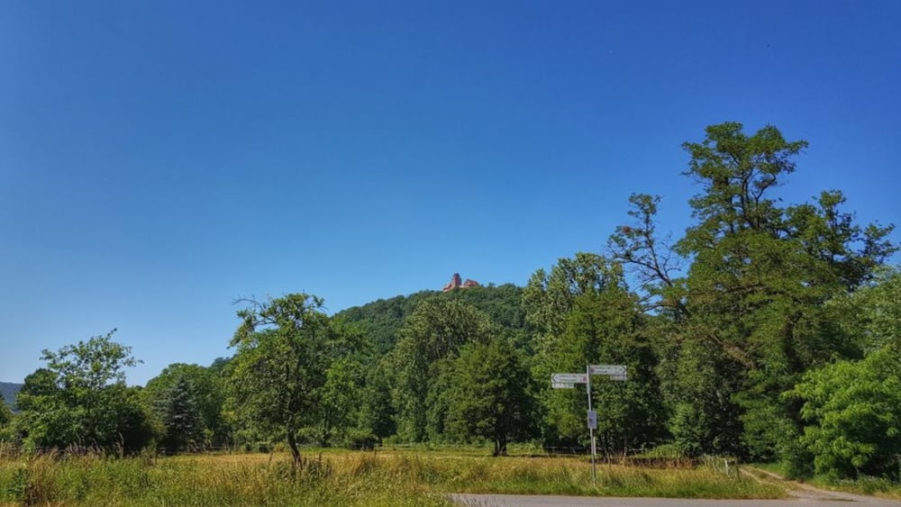
Endlich mal wieder Temperaturen, die einen auf das Rad lassen ohne einen Hitzschlag zu bekommen. Erst mal über das Georg-Verst-Heim auf die Rimhorner Höhe und dann dummerweise über die Straße nach Rai-Breitenbach. Diesmal hat das Navi mich auflaufen lassen. Hmmm. Dann aber entspannt ohne nennenswerten Autoverkehr den Rest der Strecke genossen. #noebike

Galerija izletov

Zemljevid in višinski profil izleta

  • Open Street Map
  • Google
Minimum height 130 m Maximum height 382 m Prikaz podrobnosti

More about the tour author

mh021255
Member since 2009

Send private message

Komentarji

Poti GPS

Trackpoints
  • GPX / Garmin Map Source (gpx) download
  • TCX / Garmin Training Center® (tcx) download
  • CRS / Garmin Training Center® (crs) download
  • Google Earth (kml) download
  • G7ToWin (g7t) download
  • TTQV (trk) download
  • Overlay (ovl) download
  • Fugawi (txt) download
  • Kompass (DAV) Track (tk) download
  • List z izleti (pdf) download
  • Original file of the author (gpx) download

More about the tour author

mh021255
Member since 2009

Send private message
Share track
Add to my favorites
Remove from my favorites
Edit tags
My score
Rate
Izlet: Rimhorn+Rai-Breitenbach+Mömlingen+Wald-Amorbach
Vrsta: Gorsko kolo
Dolžina: 35,4 km
Evaluated on:
Trajanje:
Day(s)
Hour(s)
Minute(s)
Ocena: Pokrajina Dejavnik zabave Kondicija Tehnika