Login

Si pozabil/a podatke za prijavo?

Cookies have to be accepted!
Your browser's cookie functionality is disabled. Please enable this functionality.

Not a member yet?

Register now
Login

Available for registred users only

Log in to use this feature.

Si pozabil/a podatke za prijavo?

Cookies have to be accepted!
Your browser's cookie functionality is disabled. Please enable this functionality.

Not a member yet?

Register now
Filter
Kategorije
Advanced filters
  • Dolžina (km)
  • Metri nadmorske višine
Shrani filter Reset filter

TrackRank

QRCode

Technical data

Dolžina65,5 km Metri nadmorske višine853 m Way down852 m Trajanje00:00 h:m Datum03.07.2019
Ocene Author Pokrajina Dejavnik zabave Kondicija Tehnika

Statistika

152 Pogledi Ocene 7 Prenosi Povprečje
Rate
  • List z izleti
  • Prihod
  • Prenosi
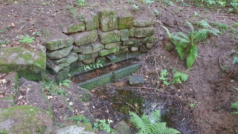
Mindestens einmal im Jahr geht es zum Königs-Brunnen. Das Wasser fließt wie gewohnt aber die Umgebung hat durch das Holz machen ganz schön gelitten. Nach einer Trinkpause, heute mal nicht im Biergarten, geht es weiter über Gebhardshütte zum Bullauer Bild. Nun in Richtung Würzberg. Da habe ich mal eine neue Strecke im Wald vorbei an Würzberg ausprobiert. Kann man lassen. Nach Eulbach noch ein paar Trails und den Hasenstabsbrunnen. Dann hinunter nach Bad König und Heim. #noebike

Galerija izletov

Zemljevid in višinski profil izleta

  • Open Street Map
  • Google
Minimum height 157 m Maximum height 562 m Prikaz podrobnosti

More about the tour author

mh021255
Member since 2009

Send private message

Komentarji

Poti GPS

Trackpoints
  • GPX / Garmin Map Source (gpx) download
  • TCX / Garmin Training Center® (tcx) download
  • CRS / Garmin Training Center® (crs) download
  • Google Earth (kml) download
  • G7ToWin (g7t) download
  • TTQV (trk) download
  • Overlay (ovl) download
  • Fugawi (txt) download
  • Kompass (DAV) Track (tk) download
  • List z izleti (pdf) download
  • Original file of the author (gpx) download

More about the tour author

mh021255
Member since 2009

Send private message
Share track
Add to my favorites
Remove from my favorites
Edit tags
My score
Rate
Izlet: über Hetzbach und Bullau und Würzberg und Vielbrunn
Vrsta: Gorsko kolo
Dolžina: 65,5 km
Evaluated on:
Trajanje:
Day(s)
Hour(s)
Minute(s)
Ocena: Pokrajina Dejavnik zabave Kondicija Tehnika