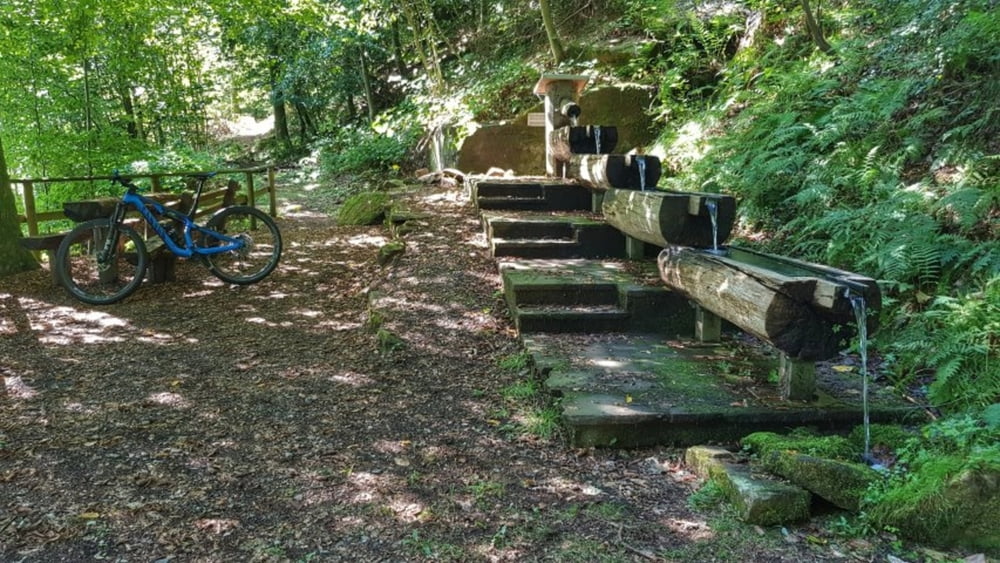
Einmal im Jahr ist diese Tour dran. Mit der Odenwaldbahn nach Eberbach und dann nach Höchst zurück über das Reußenkreuz, das Bullauer Bild, Würzberg, Vielbrunn, Toter Mann und die Rimhorner Höhe. Viele Höhenmeter und viel Odenwald. Genial. #noebike
Galerija izletov
Zemljevid in višinski profil izleta
Minimum height 128 m
Maximum height 561 m
Komentarji

Poti GPS
Trackpoints-
GPX / Garmin Map Source (gpx) download
-
TCX / Garmin Training Center® (tcx) download
-
CRS / Garmin Training Center® (crs) download
-
Google Earth (kml) download
-
G7ToWin (g7t) download
-
TTQV (trk) download
-
Overlay (ovl) download
-
Fugawi (txt) download
-
Kompass (DAV) Track (tk) download
-
List z izleti (pdf) download
-
Original file of the author (gpx) download
Add to my favorites
Remove from my favorites
Edit tags
Open track
My score
Rate


