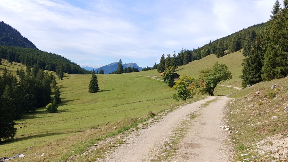
Rundtour von Pfronten, teilweise auf der Strecke des Pfrontenmarathon, mit Einkehr auf der Ostlerhütte
Steile Auffahrten zum Sportheim Böck und zur Bärenmoosalpe,und der Schlußanstieg ist auch nicht ohne mit Schieben zur Ostlerhütte
Links:
https://www.huette-mit-herz.de/
https://ostlerhuette.panomax.com/
Galerija izletov
Zemljevid in višinski profil izleta
Minimum height 848 m
Maximum height 1828 m
Komentarji

Poti GPS
Trackpoints-
GPX / Garmin Map Source (gpx) download
-
TCX / Garmin Training Center® (tcx) download
-
CRS / Garmin Training Center® (crs) download
-
Google Earth (kml) download
-
G7ToWin (g7t) download
-
TTQV (trk) download
-
Overlay (ovl) download
-
Fugawi (txt) download
-
Kompass (DAV) Track (tk) download
-
List z izleti (pdf) download
-
Original file of the author (gpx) download
Add to my favorites
Remove from my favorites
Edit tags
Open track
My score
Rate


