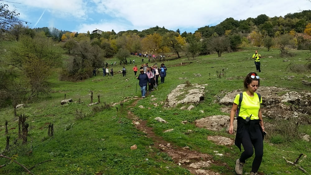
Teilstück des 75 km langen Menalon Trails. Wunderschöne Wanderung durch einen Tannenwald, die teilweise am Milaon Bachbett entlag führt. Der Anstieg nach Vytina ist der einzige größere Anstieg.
Further information at
https://menalontrail.eu/Galerija izletov
Zemljevid in višinski profil izleta
Minimum height 913 m
Maximum height 1181 m
Komentarji

Wir fuhren mit dem Reisbus von Athen nach Elati, zum Startpunkt der Wanderung. In Vytina erwartete uns der Reisebus wieder, der uns nach Athen zurück brachte.
Poti GPS
Trackpoints-
GPX / Garmin Map Source (gpx) download
-
TCX / Garmin Training Center® (tcx) download
-
CRS / Garmin Training Center® (crs) download
-
Google Earth (kml) download
-
G7ToWin (g7t) download
-
TTQV (trk) download
-
Overlay (ovl) download
-
Fugawi (txt) download
-
Kompass (DAV) Track (tk) download
-
List z izleti (pdf) download
-
Original file of the author (gpx) download
Add to my favorites
Remove from my favorites
Edit tags
Open track
My score
Rate


