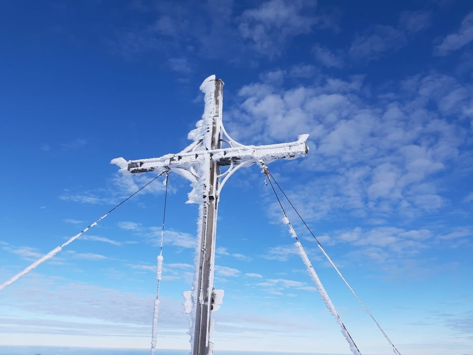
Gute Tour bei annehmbaren Schneeverhältnissen: oben windgepresst, je tiefer umso pulvriger! Vorm Gipfel geht's ein wenig auf und ab, das aber mit Fellen zu bewältigen ist.
Galerija izletov
Zemljevid in višinski profil izleta
Minimum height 814 m
Maximum height 1808 m
Komentarji

Start am Parkplatz vorm Lahnsattel, heißt, dass man abschließend einen kleinen Fußmarsch in Kauf nehmen muss.
Poti GPS
Trackpoints-
GPX / Garmin Map Source (gpx) download
-
TCX / Garmin Training Center® (tcx) download
-
CRS / Garmin Training Center® (crs) download
-
Google Earth (kml) download
-
G7ToWin (g7t) download
-
TTQV (trk) download
-
Overlay (ovl) download
-
Fugawi (txt) download
-
Kompass (DAV) Track (tk) download
-
List z izleti (pdf) download
-
Original file of the author (gpx) download
Add to my favorites
Remove from my favorites
Edit tags
Open track
My score
Rate


