Login

Si pozabil/a podatke za prijavo?

Cookies have to be accepted!
Your browser's cookie functionality is disabled. Please enable this functionality.

Not a member yet?

Register now
Login

Available for registred users only

Log in to use this feature.

Si pozabil/a podatke za prijavo?

Cookies have to be accepted!
Your browser's cookie functionality is disabled. Please enable this functionality.

Not a member yet?

Register now
Filter
Kategorije
Advanced filters
  • Dolžina (km)
  • Metri nadmorske višine
Shrani filter Reset filter

TrackRank

QRCode

Technical data

Dolžina73,1 km Metri nadmorske višine1922 m Way down1899 m Trajanje00:00 h:m Datum09.05.2020
Ocene Author Pokrajina Dejavnik zabave Kondicija Tehnika

Statistika

215 Pogledi 1 Ocena 30 Prenosi 2.00 Povprečje
Rate
  • List z izleti
  • Prihod
  • Prenosi

Rundkurs! 

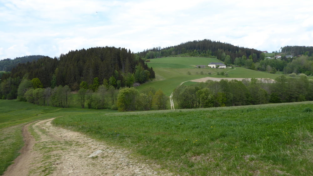
Sehr ausgewogene Streckenführung abseits von Hauptstraßen

Viele Güterwega aber auch viele Feld Wald uns Wiesenwege. 

Sehr schöne Landschauft und schöne Ausblicke ins Flachland

Abschluß etwas anders gefahren   - durch einen ortskudigen 

Teilnehmer noch ein paar Trails im Abgang verbaut 


Galerija izletov

Zemljevid in višinski profil izleta

  • Open Street Map
  • Google
Minimum height 259 m Maximum height 927 m Prikaz podrobnosti

More about the tour author

Hoar
Member since 2009

Send private message

Komentarji

Poti GPS

Trackpoints
  • GPX / Garmin Map Source (gpx) download
  • TCX / Garmin Training Center® (tcx) download
  • CRS / Garmin Training Center® (crs) download
  • Google Earth (kml) download
  • G7ToWin (g7t) download
  • TTQV (trk) download
  • Overlay (ovl) download
  • Fugawi (txt) download
  • Kompass (DAV) Track (tk) download
  • List z izleti (pdf) download
  • Original file of the author (gpx) download

More about the tour author

Hoar
Member since 2009

Send private message
Share track
Add to my favorites
Remove from my favorites
Edit tags
My score
Rate
Izlet: Granitlandrunde Süd inc Abstecher auf die GIS und BonusTrails zum Abgang
Vrsta: Gorsko kolo
Dolžina: 73,1 km
Evaluated on:
Trajanje:
Day(s)
Hour(s)
Minute(s)
Ocena: Pokrajina Dejavnik zabave Kondicija Tehnika