


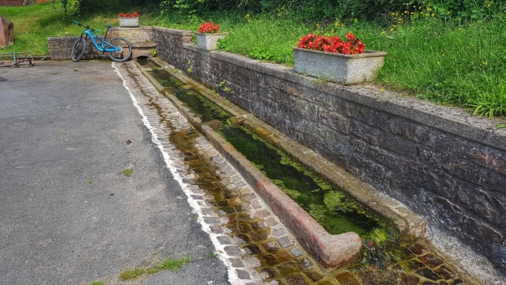
Einmal im Jahr, mindestens, geht es zum Königs-Brunnen. Erst mal 29km auf dem Mümlingtalradweg bis kurz vor Hetzbach. Nun geht es in den Wald hinein. Auf einem asphaltierten Sträßchen geht es hoch nach Gebhardshütte, vorbei am Königs-Brunnen. Nach Gebharshütte hinüber zum Bullauer Bild und weiter bis zum Eulbachpark. Hier gibt es auch eine Einkehrmöglichkeit. Das ist nicht mehr so uhrig wie vorher, aber für ein Bier reicht es. Dann weiter nach Vielbrunn und hier haben wir uns entschieden, wieder ins Mümlingtal runter zu fahren. In Bad König dann zum Abschluß noch einen leckerne Flammkuchen gegessen. #noebike
Galerija izletov


Zemljevid in višinski profil izleta
Minimum height 157 m
Maximum height 564 m
More about the tour author
|
|
mh021255 |
Komentarji

Poti GPS
Trackpoints-
GPX / Garmin Map Source (gpx) download
-
TCX / Garmin Training Center® (tcx) download
-
CRS / Garmin Training Center® (crs) download
-
Google Earth (kml) download
-
G7ToWin (g7t) download
-
TTQV (trk) download
-
Overlay (ovl) download
-
Fugawi (txt) download
-
Kompass (DAV) Track (tk) download
-
List z izleti (pdf) download
-
Original file of the author (gpx) download
More about the tour author
|
|
mh021255 |
Add to my favorites
Remove from my favorites
Edit tags
Open track
My score
Rate