Login

Si pozabil/a podatke za prijavo?

Cookies have to be accepted!
Your browser's cookie functionality is disabled. Please enable this functionality.

Not a member yet?

Register now
Login

Available for registred users only

Log in to use this feature.

Si pozabil/a podatke za prijavo?

Cookies have to be accepted!
Your browser's cookie functionality is disabled. Please enable this functionality.

Not a member yet?

Register now
Filter
Kategorije
Advanced filters
  • Dolžina (km)
  • Metri nadmorske višine
Shrani filter Reset filter

TrackRank

QRCode

Technical data

Dolžina57,6 km Metri nadmorske višine902 m Way down927 m Trajanje03:30 h:m Datum10.08.2020
Ocene Author Pokrajina Dejavnik zabave Kondicija Tehnika

Statistika

148 Pogledi Ocene 13 Prenosi Povprečje
Rate
  • List z izleti
  • Prihod
  • Prenosi

Mistelbach über Jakobsweg zum Buschberg und über Römerweg nach Oberleis. Am Tierpark entlang nach Ernstbrunn, weiter nach Niederleis, übers Pfaffenbründl wieder zum Jakobsweg und zurück nach Mistelbach.

!!! Nicht immer auf offiziellen Wegen ;-) !!!
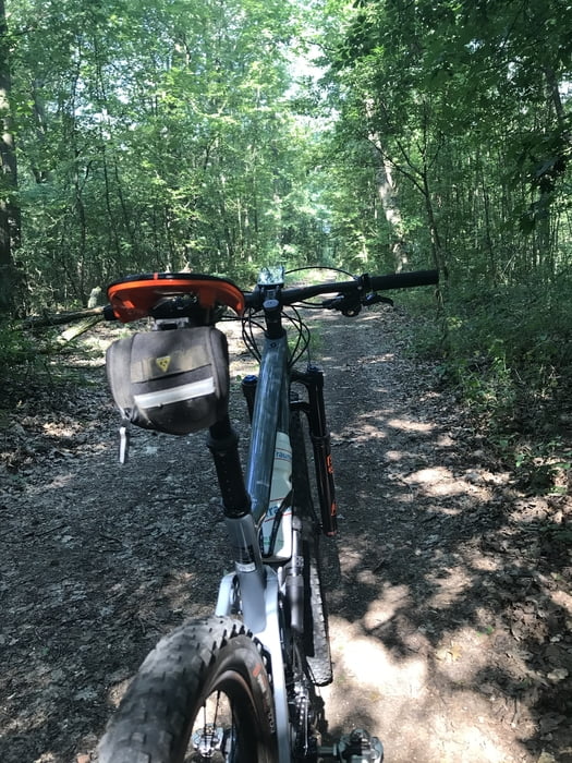
Galerija izletov

Zemljevid in višinski profil izleta

  • Open Street Map
  • Google
Minimum height 193 m Maximum height 467 m Prikaz podrobnosti

More about the tour author

Thager12
Member since 2020

Send private message

Komentarji

Poti GPS

Trackpoints
  • GPX / Garmin Map Source (gpx) download
  • TCX / Garmin Training Center® (tcx) download
  • CRS / Garmin Training Center® (crs) download
  • Google Earth (kml) download
  • G7ToWin (g7t) download
  • TTQV (trk) download
  • Overlay (ovl) download
  • Fugawi (txt) download
  • Kompass (DAV) Track (tk) download
  • List z izleti (pdf) download
  • Original file of the author (gpx) download

More about the tour author

Thager12
Member since 2020

Send private message
Share track
Add to my favorites
Remove from my favorites
Edit tags
My score
Rate
Izlet: Leiser Berge
Vrsta: Gorsko kolo
Dolžina: 57,6 km
Evaluated on:
Trajanje:
Day(s)
Hour(s)
Minute(s)
Ocena: Pokrajina Dejavnik zabave Kondicija Tehnika