

MTB Tour quer durch den Ruhrpott von der größten westlichen Halde,der Halde Norddeutschland, zur größten östlichen Halde,der Osthalde in Ahlen.Teilweise werden auch Landmarken angesteuert,die man ggf auch als Minihalden bezeichnen kann.Interessant auch welche Dimensionen der Bergbau in früheren Jahren angenommen hat.
Tourenbescheibung:
Halde Norddeutschland,Halde Rheinpreussen,Monte Schlacko,Knappenhalde,Schurenbachhalde,
Halde Zollverein,Mechtenberg,Halde Rheinelbe,Halde 100,Halde Zeche Königsgrube,Halde Hanibal,
Tippelsberg,Landmarke Hiltrop,Landmarke Gerthe,Halde Lotringen,Berghalde Schwerin,Deusenberg
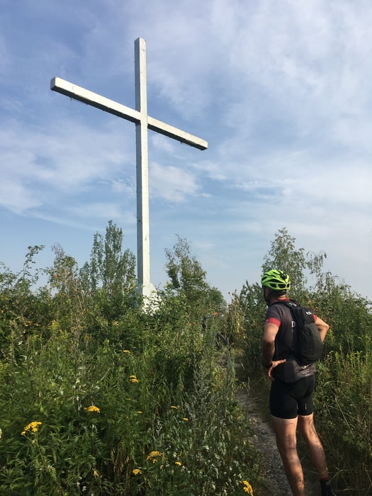
Großes Holz,Halde Radbot,Panorama-,Windsegel,-und alte Halde ehem.Halde Sachsen,Osthalde.
Zemljevid in višinski profil izleta
Minimum height 16 m
Maximum height 161 m
More about the tour author

|
Thomair |
Komentarji

Poti GPS
Trackpoints-
GPX / Garmin Map Source (gpx) download
-
TCX / Garmin Training Center® (tcx) download
-
CRS / Garmin Training Center® (crs) download
-
Google Earth (kml) download
-
G7ToWin (g7t) download
-
TTQV (trk) download
-
Overlay (ovl) download
-
Fugawi (txt) download
-
Kompass (DAV) Track (tk) download
-
List z izleti (pdf) download
-
Original file of the author (gpx) download
More about the tour author
|
|
Thomair |
Add to my favorites
Remove from my favorites
Edit tags
Open track
My score
Rate