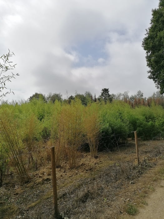
Voordat ik deze tocht publiceerde ben ik niet over een nacht ijs gegaan, na jaren mountainbiken in dit gebied is dit toch wel het beste wat dit gebied te bieden heeft. Dit is een tocht die vol uitdagingen zit met veel korte klimmetjes en veel single tracks, landschapelijk is deze tocht ook nog eens de moeite waard. De tocht bestaat ongeveer uit 40 km onverharde en 4 km verharde weg en zit vooral boordevol met single tracks.
Galerija izletov
Zemljevid in višinski profil izleta
Minimum height -55 m
Maximum height 40 m
Komentarji

Poti GPS
Trackpoints-
GPX / Garmin Map Source (gpx) download
-
TCX / Garmin Training Center® (tcx) download
-
CRS / Garmin Training Center® (crs) download
-
Google Earth (kml) download
-
G7ToWin (g7t) download
-
TTQV (trk) download
-
Overlay (ovl) download
-
Fugawi (txt) download
-
Kompass (DAV) Track (tk) download
-
List z izleti (pdf) download
-
Original file of the author (gpx) download
Add to my favorites
Remove from my favorites
Edit tags
Open track
My score
Rate


