Login

Si pozabil/a podatke za prijavo?

Cookies have to be accepted!
Your browser's cookie functionality is disabled. Please enable this functionality.

Not a member yet?

Register now
Login

Available for registred users only

Log in to use this feature.

Si pozabil/a podatke za prijavo?

Cookies have to be accepted!
Your browser's cookie functionality is disabled. Please enable this functionality.

Not a member yet?

Register now
Filter
Kategorije
Advanced filters
  • Dolžina (km)
  • Metri nadmorske višine
Shrani filter Reset filter

TrackRank

QRCode

Technical data

Dolžina14,7 km Metri nadmorske višine0 m Way down0 m Trajanje00:00 h:m Datum18.10.2020
Ocene Author Pokrajina Dejavnik zabave Kondicija Tehnika

Statistika

210 Pogledi Ocene 19 Prenosi Povprečje
Rate
  • List z izleti
  • Prihod
  • Prenosi

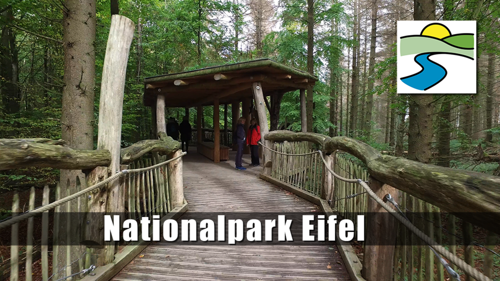
Durch einen hohen Buchenwald gehen wir zunächst Richtung Schwammenauel und gelangen zum Wilden Kermeter. Auf breitem Forstweg geht es weiter bis zur Hütte Paulushof, hier biegen wir zur Hirschley ab. Passieren diese und gelangen wieder auf die breite Forststraße. Auf gleichem Wege geht es zurück, bis es an einer Gabelung zur Abtei Mariawald geleitet werden und von dort zum Ausgangspunkt.


Galerija izletov

Zemljevid in višinski profil izleta

  • Open Street Map
  • Google
Minimum height 99999 m Maximum height -99999 m Prikaz podrobnosti

More about the tour author

schleidy
Member since 2013

Send private message

Komentarji

Poti GPS

Trackpoints
  • GPX / Garmin Map Source (gpx) download
  • TCX / Garmin Training Center® (tcx) download
  • CRS / Garmin Training Center® (crs) download
  • Google Earth (kml) download
  • G7ToWin (g7t) download
  • TTQV (trk) download
  • Overlay (ovl) download
  • Fugawi (txt) download
  • Kompass (DAV) Track (tk) download
  • List z izleti (pdf) download
  • Original file of the author (gpx) download

More about the tour author

schleidy
Member since 2013

Send private message
Share track
Add to my favorites
Remove from my favorites
Edit tags
My score
Rate
Izlet: Auf den Höhen des Nationalpark
Vrsta: Pešačenje
Dolžina: 14,7 km
Evaluated on:
Trajanje:
Day(s)
Hour(s)
Minute(s)
Ocena: Pokrajina Dejavnik zabave Kondicija Tehnika